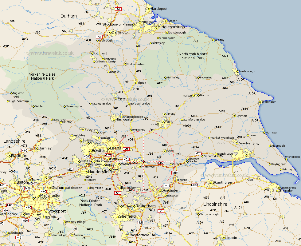
Yorkshire Map Showing Location of Brotherton
Population: 672
District: Selby
Easting: 448390 Northing: 424750
Latitude: 53.72 Longitude: -1.27
 = Brotherton
District: Selby
Easting: 448390 Northing: 424750
Latitude: 53.72 Longitude: -1.27
= Brotherton
This Brotherton map below is supplied by Google. Use the tools in the top left corner to zoom into street level or zoom out for a road map, you may also need to zoom in to see Brotherton on the map. Click and drag the map to move around. If the map fails to load try and refresh your browser or zoom in or out (+ or -).
Update - it seems Google no longer allow people to use their maps for free! This Brotherton map sometimes loads and sometimes gives a error. I am working on a solution.
Closest 30 Towns or Cities to Brotherton (Population over 500)
Knottingley 2.87km Knottingly 2.87km Monk Fryston 4.3km Pontefract 4.31km Castleford 5.48km Darrington 5.67km South Milford 5.67km Featherstone 6.84km Whitley 8.53km Hambleton 8.61km Kippax 8.61km High Ackworth 8.62km Ackworth 8.62km Ackworth Moor Top 8.62km Sherburn 9.33km Sherburn in Elmet 9.33km Normanton 10.05km Micklefield 10.25km Garforth 10.66km Norton 10.78km Hensall 11.13km North Elmsall 11.17km Upton 11.17km Swillington 11.32km Badsworth 11.33km Church Fenton 11.59km Aberford 11.95km Fitzwilliam 12.04km Crofton 12.35km Campsall 12.4km