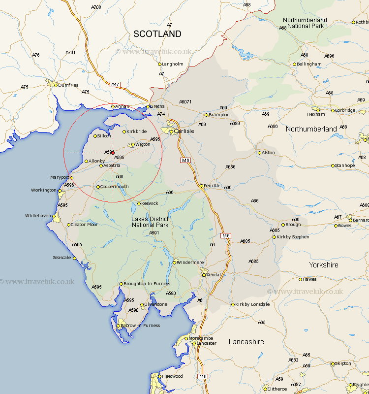
Cumbria Map Showing Location of Bromfield
Population: 530
District: Allerdale
Easting: 318580 Northing: 545759
Latitude: 54.8 Longitude: -3.27
 = Bromfield
District: Allerdale
Easting: 318580 Northing: 545759
Latitude: 54.8 Longitude: -3.27
= Bromfield
This Bromfield map below is supplied by Google. Use the tools in the top left corner to zoom into street level or zoom out for a road map, you may also need to zoom in to see Bromfield on the map. Click and drag the map to move around. If the map fails to load try and refresh your browser or zoom in or out (+ or -).
Update - it seems Google no longer allow people to use their maps for free! This Bromfield map sometimes loads and sometimes gives a error. I am working on a solution.
Closest 30 Towns or Cities to Bromfield (Population over 500)
Aspatria 7.01km Wigton 8.34km Westward 8.75km Silloth 9.8km Kirkbride 10.2km Crosscanonby 13.01km Thursby 14.37km Bridekirk 14.48km Dearham 15.43km Caldbeck 15.75km Cockermouth 15.76km Bowness on Solway 16.98km Bowness-on-Solway 16.98km Hesket Newmarket 17.67km Broughton Moor 18.25km Dalston 18.53km Maryport 18.65km Burgh by Sands 18.99km Burgh-by-Sands 18.99km Burgh 18.99km Brigham 19.26km Flimby 20.63km Carlisle 23.27km Rockcliffe 23.42km Rockcliff 23.42km Stanwix 24.06km Koswick 24.24km Keswick 24.24km Dean 24.68km Workington 25.48km