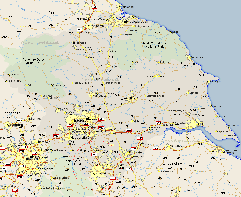
Yorkshire Map Showing Location of Ecclesfield
Population: 31609
District: Sheffield
Easting: 435429 Northing: 393107
Latitude: 53.43 Longitude: -1.47
 = Ecclesfield
District: Sheffield
Easting: 435429 Northing: 393107
Latitude: 53.43 Longitude: -1.47
= Ecclesfield
This Ecclesfield map below is supplied by Google. Use the tools in the top left corner to zoom into street level or zoom out for a road map, you may also need to zoom in to see Ecclesfield on the map. Click and drag the map to move around. If the map fails to load try and refresh your browser or zoom in or out (+ or -).
Update - it seems Google no longer allow people to use their maps for free! This Ecclesfield map sometimes loads and sometimes gives a error. I am working on a solution.
Closest 30 Towns or Cities to Ecclesfield (Population over 500)
Wentworth 4.98km Wharncliffe 5.52km Wharncliffe Side 5.52km Oughtibridge 5.52km Tankersley 5.56km Wortley 7.1km Birdwell 7.5km Hoyland Nether 7.5km Hoyland 7.5km Rotherham 7.73km Rotherdam 7.73km Sheffield 7.73km Orgreave 8.65km Rawmarsh 9.02km Bradfield 9.03km Worsborough 9.34km Worsbrough 9.34km Treeton 9.52km Whiston 9.58km Wombwell 10.27km Stocksbridge 10.43km Wath-on-Dearne 10.71km Wath on Dearne 10.71km Wath 10.71km Wath upon Dearne 10.71km Thrybergh 11.19km Swinton 11.38km Dodworth 11.96km Wickersley 12.29km Darsfield 12.41km