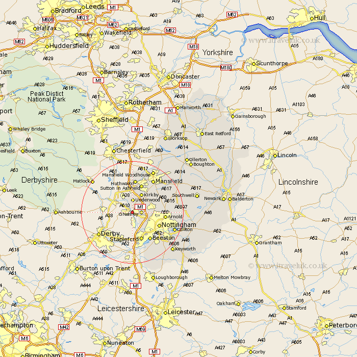
Nottinghamshire Map Showing Location of Brinsley
Population: 2352
District: Broxtowe
Easting: 445836 Northing: 346852
Latitude: 53.02 Longitude: -1.32
 = Brinsley
District: Broxtowe
Easting: 445836 Northing: 346852
Latitude: 53.02 Longitude: -1.32
= Brinsley
This Brinsley map below is supplied by Google. Use the tools in the top left corner to zoom into street level or zoom out for a road map, you may also need to zoom in to see Brinsley on the map. Click and drag the map to move around. If the map fails to load try and refresh your browser or zoom in or out (+ or -).
Update - it seems Google no longer allow people to use their maps for free! This Brinsley map sometimes loads and sometimes gives a error. I am working on a solution.
Closest 30 Towns or Cities to Brinsley (Population over 500)
Eastwood 2.17km Greasley 3.34km Awsworth 4.33km Kimberley 5km Underwood 5.15km Selston 5.56km Annesley 5.79km Cossall 5.99km Kirkby 8.12km Kirkby in Ashfield 8.12km Newstead 8.7km Trowell 9.54km Papplewick 9.65km Nottigham 11.48km Nottingham 11.48km Sutton in Ashfield 11.61km Stapleford 11.61km Arnold 12.41km Beeston 12.98km Huthwaite 13.01km Hucknall under Huthwaite 13.01km Hucknall 13.01km Hucknall-under-Huthwaite 13.01km Blidworth 14.32km Mansfield 15.13km Calverton 15.71km Claverton 15.71km Woodborough 16.72km Oxton 17.12km Lambley 17.14km