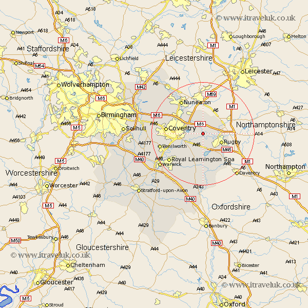
Warwickshire Map Showing Location of Brinklow
Population: 1041
District: Rugby
Easting: 444219 Northing: 278239
Latitude: 52.4 Longitude: -1.35
 = Brinklow
District: Rugby
Easting: 444219 Northing: 278239
Latitude: 52.4 Longitude: -1.35
= Brinklow
This Brinklow map below is supplied by Google. Use the tools in the top left corner to zoom into street level or zoom out for a road map, you may also need to zoom in to see Brinklow on the map. Click and drag the map to move around. If the map fails to load try and refresh your browser or zoom in or out (+ or -).
Update - it seems Google no longer allow people to use their maps for free! This Brinklow map sometimes loads and sometimes gives a error. I am working on a solution.
Closest 30 Towns or Cities to Brinklow (Population over 500)
Brinklow 0km Wolston 4.34km Long Lawford 5.02km Brandon 5.02km Shilton 6.51km Rugby 7.73km Bulkington 8.68km Dunchurch 8.69km Clifton upon Dunsmore 9.24km Clifton-on-Dunsmore 9.24km Clifton 9.24km Clifton on Dunsmore 9.24km Wolvey 9.33km Baginton 9.78km Bedworth 10.84km Bubbenhall 10.85km Stoneleigh 12.61km Keresley 12.97km Coventry 13.69km Allesley 13.69km Corley 14.66km Stockton 14.82km Long Itchington 14.99km Nuneaton 15.19km Leamington 16.69km Royal Leamington Spa 16.69km Leamington Spa 16.69km Kenilworth 16.79km Southam 16.83km Fillongley 17.47km