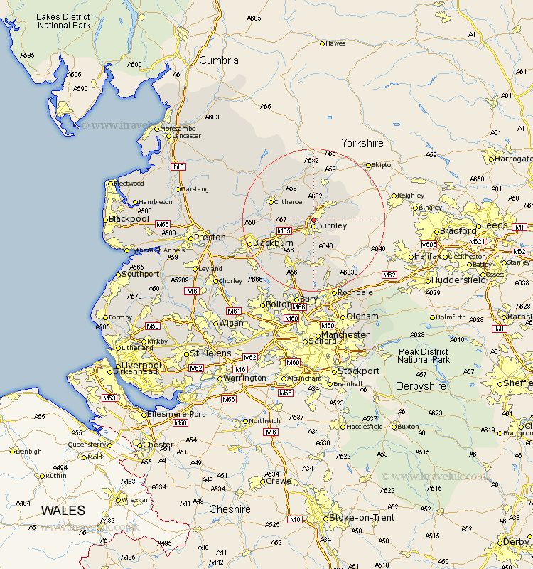
Lancashire Map Showing Location of Brierfield
Population: 9253
Area Size (ha): 244
District: Pendle
Easting: 384639 Northing: 435651
Latitude: 53.82 Longitude: -2.23
 = Brierfield
Area Size (ha): 244
District: Pendle
Easting: 384639 Northing: 435651
Latitude: 53.82 Longitude: -2.23
= Brierfield
This Brierfield map below is supplied by Google. Use the tools in the top left corner to zoom into street level or zoom out for a road map, you may also need to zoom in to see Brierfield on the map. Click and drag the map to move around. If the map fails to load try and refresh your browser or zoom in or out (+ or -).
Update - it seems Google no longer allow people to use their maps for free! This Brierfield map sometimes loads and sometimes gives a error. I am working on a solution.
Closest 30 Towns or Cities to Brierfield (Population over 500)
Brierfield 0km Burnley 1.86km Nelson 2.86km Barrowford 3.86km Colne 5.73km Sabden 6.56km Hapton 6.61km Padiham 6.61km Foulridge 7.07km Altham 7.54km Laneshaw Bridge 8.5km Simonstone 8.52km Kelbrook 9.2km Accrington 9.47km Salterforth 10.24km Chatburn 10.65km Clayton le Moors 11.31km Clayton le Moor 11.31km Clayton-le-Moors 11.31km Barnoldswick 11.59km Whalley 12.04km Clitheroe 12.27km Church 12.33km Great Harwood 12.6km Grindleton 12.74km Gisburn 13.15km Rawtenstall 13.39km Bacup 13.39km Waddington 14.12km Rishton 14.15km