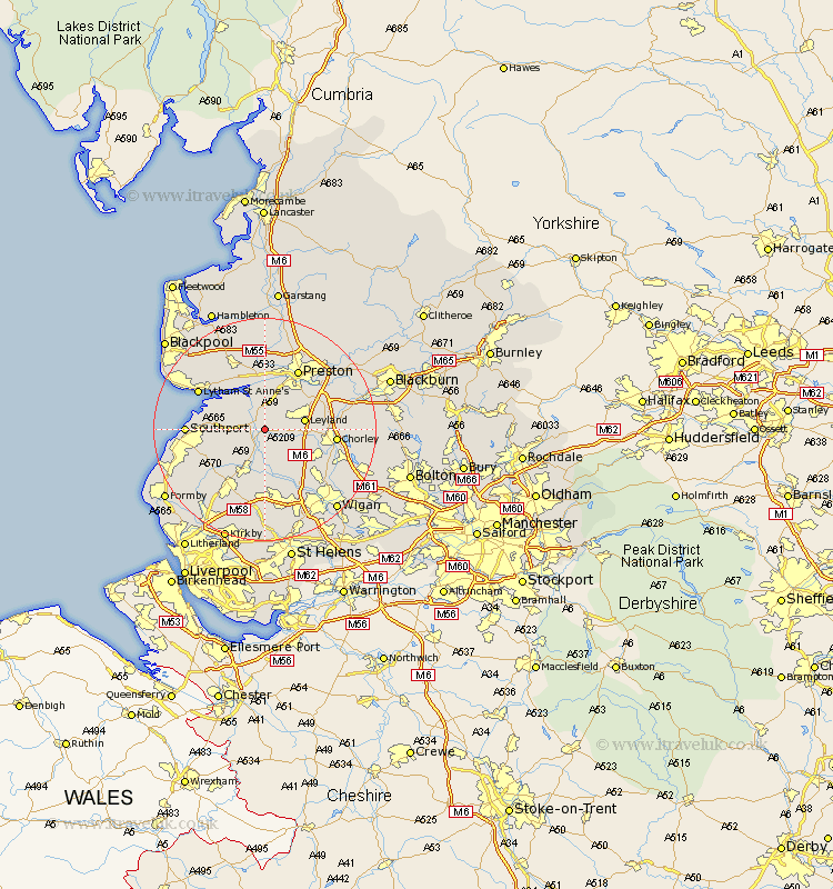
Lancashire Map Showing Location of Bretherton
Population: 655
District: Chorley
Easting: 347147 Northing: 419236
Latitude: 53.67 Longitude: -2.8
 = Bretherton
District: Chorley
Easting: 347147 Northing: 419236
Latitude: 53.67 Longitude: -2.8
= Bretherton
This Bretherton map below is supplied by Google. Use the tools in the top left corner to zoom into street level or zoom out for a road map, you may also need to zoom in to see Bretherton on the map. Click and drag the map to move around. If the map fails to load try and refresh your browser or zoom in or out (+ or -).
Update - it seems Google no longer allow people to use their maps for free! This Bretherton map sometimes loads and sometimes gives a error. I am working on a solution.
Closest 30 Towns or Cities to Bretherton (Population over 500)
Bretherton 0km Tarleton 2.19km Croston 2.88km Hoole 3.7km Much Hoole 3.7km Penrith 4.77km Longton 5.56km Rufford 5.98km Mawdesley 5.98km Eccleston 6.63km Leyland 6.84km Hutton 7.72km Banks 7.9km Farington 8.62km Farrington 8.62km Euxton 8.98km Burscough 9.53km Parbold 9.53km Freckleton 10.25km Penwortham 10.25km Lea 11.12km Lea Town 11.12km Lathom 11.17km Coppull 11.34km Scarisbrick 11.5km Heapey 12.08km Chorley 12.22km Warton 12.4km Preston 12.4km Appley Bridge 12.4km