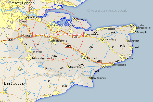
Kent Map Showing Location of Bredhurst
Population: 355
District: Maidstone
Easting: 580004 Northing: 160734
Latitude: 51.32 Longitude: 0.58
 = Bredhurst
District: Maidstone
Easting: 580004 Northing: 160734
Latitude: 51.32 Longitude: 0.58
= Bredhurst
This Bredhurst map below is supplied by Google. Use the tools in the top left corner to zoom into street level or zoom out for a road map, you may also need to zoom in to see Bredhurst on the map. Click and drag the map to move around. If the map fails to load try and refresh your browser or zoom in or out (+ or -).
Update - it seems Google no longer allow people to use their maps for free! This Bredhurst map sometimes loads and sometimes gives a error. I am working on a solution.
Closest 30 Towns or Cities to Bredhurst (Population over 500)
Detling 3.71km Boxley 4.38km Stockbury 4.63km Bearsted 5.68km Newington 6.87km Burham 6.95km Upchurch 7.24km Maidstone 7.24km Gillingham 7.41km Aylesford 7.88km Lower Halstow 8.03km Borden 8.11km Wouldham 8.32km Bredgar 8.32km Chatham 8.73km Hollingbourne 8.75km Bobbing 8.91km Tunstall 9.27km Langley 9.27km Hoo 9.34km Strood 9.4km Leeds 9.56km Cuxton 9.98km Rochester 10km Loose 10.37km Snodland 10.43km Barming 10.99km East Barming 10.99km Harrietsham 11.59km Boughton Monchelsea 11.65km