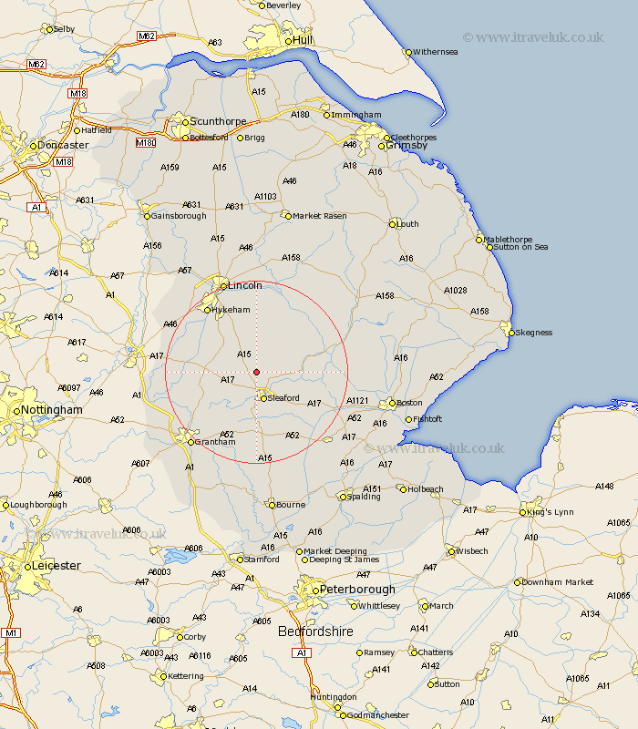
Lincolnshire Map Showing Location of Brauncewell
Population: 521
District: North Kesteven
Easting: 505004 Northing: 351485
Latitude: 53.05 Longitude: -0.43
 = Brauncewell
District: North Kesteven
Easting: 505004 Northing: 351485
Latitude: 53.05 Longitude: -0.43
= Brauncewell
This Brauncewell map below is supplied by Google. Use the tools in the top left corner to zoom into street level or zoom out for a road map, you may also need to zoom in to see Brauncewell on the map. Click and drag the map to move around. If the map fails to load try and refresh your browser or zoom in or out (+ or -).
Update - it seems Google no longer allow people to use their maps for free! This Brauncewell map sometimes loads and sometimes gives a error. I am working on a solution.
Closest 30 Towns or Cities to Brauncewell (Population over 500)
Cranwell 2.9km Buskington 3.82km Ruskington 3.82km Bloxholme 3.87km Bloxholm 3.87km Leasingham 3.87km Heasingham 3.87km Digby 5.79km Scopwick 5.99km Sleaford 6.49km Navenby 7.87km Welbourn 8.02km Wellingore 8.69km Metheringham 9.53km Martin 9.98km Fulbeck 10.2km Billinghay 10.68km Dunston 11.34km Ancaster 11.43km Caythorpe 11.74km Nocton 13.02km Heckington 13.66km Waddington 14.59km Potter Hanworth 14.86km Hale 14.98km Great Hale 14.98km Branston 14.99km Bassingham 15.28km Helpringham 15.75km Aubourn 16.54km