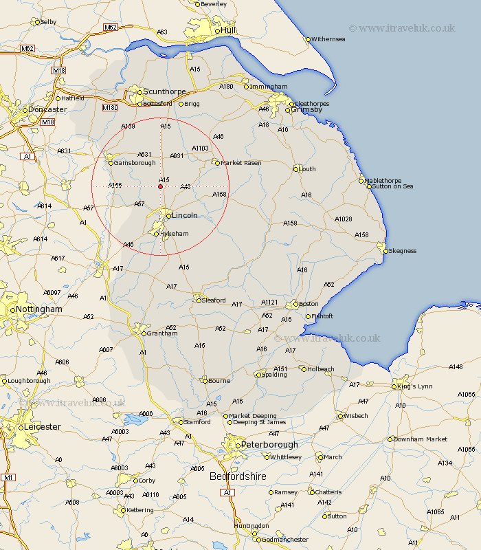
Lincolnshire Map Showing Location of Brattleby
Population: 113
District: West Lindsey
Easting: 495474 Northing: 380962
Latitude: 53.32 Longitude: -0.57
 = Brattleby
District: West Lindsey
Easting: 495474 Northing: 380962
Latitude: 53.32 Longitude: -0.57
= Brattleby
This Brattleby map below is supplied by Google. Use the tools in the top left corner to zoom into street level or zoom out for a road map, you may also need to zoom in to see Brattleby on the map. Click and drag the map to move around. If the map fails to load try and refresh your browser or zoom in or out (+ or -).
Update - it seems Google no longer allow people to use their maps for free! This Brattleby map sometimes loads and sometimes gives a error. I am working on a solution.
Closest 30 Towns or Cities to Brattleby (Population over 500)
Scrampton 1.86km Scampton 1.86km Ingham 2.15km Welton 5.84km Dunholme 6.9km Dunholm 6.9km Nettleham 7.85km Saxilby 7.85km Willingham 8.59km Scothern 8.6km Lincoln 9.54km Sudbrooke 9.54km Skellingthorpe 9.85km Marton 11.07km Torksey 11.68km Fiskerton 12.83km Reepham 12.83km Washingborough 12.96km Cherry Willingham 13.06km Lea 13.38km Heighington 14.58km North Hykeham 14.87km Hykeham 14.87km Waddingham 15.19km Middle Rasen 15.2km Gainsborough 15.2km Gainesborough 15.2km Thorpe on the Hill 15.48km Thorpe-on-the-Hill 15.48km Thorpe 15.48km