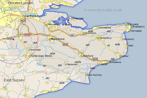
Kent Map Showing Location of Brasted
Population: 1321
District: Sevenoaks
Easting: 546488 Northing: 154100
Latitude: 51.27 Longitude: 0.1
 = Brasted
District: Sevenoaks
Easting: 546488 Northing: 154100
Latitude: 51.27 Longitude: 0.1
= Brasted
This Brasted map below is supplied by Google. Use the tools in the top left corner to zoom into street level or zoom out for a road map, you may also need to zoom in to see Brasted on the map. Click and drag the map to move around. If the map fails to load try and refresh your browser or zoom in or out (+ or -).
Update - it seems Google no longer allow people to use their maps for free! This Brasted map sometimes loads and sometimes gives a error. I am working on a solution.
Closest 30 Towns or Cities to Brasted (Population over 500)
Westerham 1.16km Chevening 2.96km Knockholt 3.7km Ide Hill 4.38km Halsted 6.02km Fort Halstead 6.02km Halstead 6.02km Otford 6.88km Sevenoaks 6.96km Shoreham 8.03km Weald 8.03km Seal 8.32km Edenbridge 9.56km Kemsing 9.99km Hever 11.12km Chiddingstone 11.36km Hildenborough 11.88km Eynsford 12.31km Leigh 12.33km Penshurst 12.54km West Kingsdown 12.79km Hextable 13.66km Farningham 13.76km Swanley 13.77km Borough Green 14.03km Plaxtol 14.04km Cowden 14.88km Wrotham 15.52km Tonbridge 15.78km Southborough 15.96km