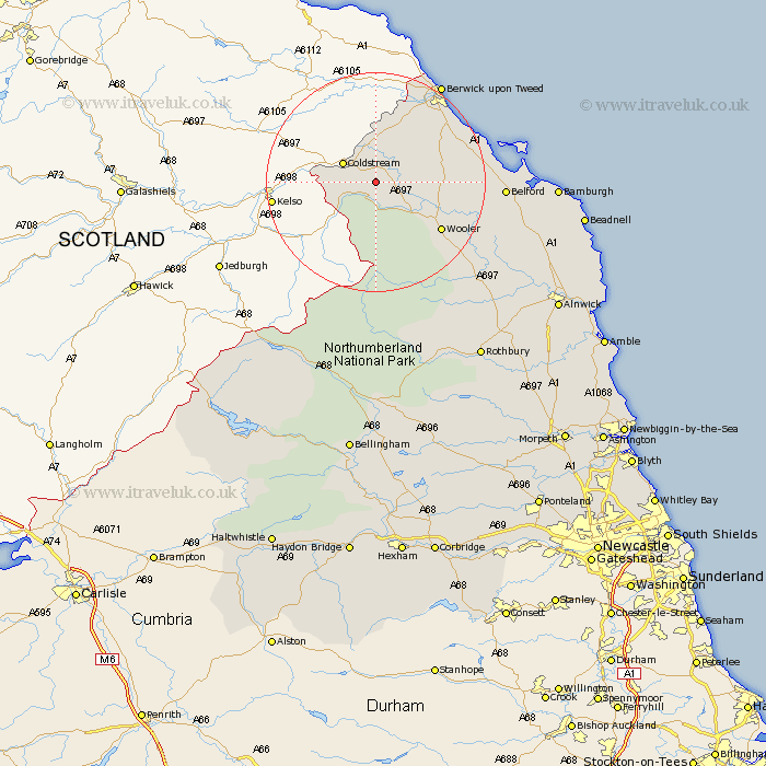
Northumberland Map Showing Location of Branxton
Population: 121
District: Berwick-upon-Tweed
Easting: 389503 Northing: 635913
Latitude: 55.62 Longitude: -2.17
 = Branxton
District: Berwick-upon-Tweed
Easting: 389503 Northing: 635913
Latitude: 55.62 Longitude: -2.17
= Branxton
This Branxton map below is supplied by Google. Use the tools in the top left corner to zoom into street level or zoom out for a road map, you may also need to zoom in to see Branxton on the map. Click and drag the map to move around. If the map fails to load try and refresh your browser or zoom in or out (+ or -).
Update - it seems Google no longer allow people to use their maps for free! This Branxton map sometimes loads and sometimes gives a error. I am working on a solution.
Closest 30 Towns or Cities to Branxton (Population over 500)
Norham 11.17km Lowick 12.69km Ancroft 13.97km Wooler 13.99km Ord 17.55km East Ord 17.55km Belford 21.02km Berwick upon Tweed 21.27km Berwick-Upon-Tweed 21.27km Berwick on Tweed 21.27km Berwick 21.27km Berwick-upon-Tweed 21.27km Berwick-on-Tweed 21.27km North Sunderland 31.9km Beadnell 34.33km Rothbury 37.35km Embleton 37.64km Almwick 38km Alnwick 38km Shilbottle 41.23km Alnmouth 43.06km Lesbury 43.28km Lisburg 43.28km Longframlington 44.26km Otterburn 44.48km Swarland 44.57km Warkworth 45.61km Felton 47.33km Thirston 47.99km East Thirston 47.99km