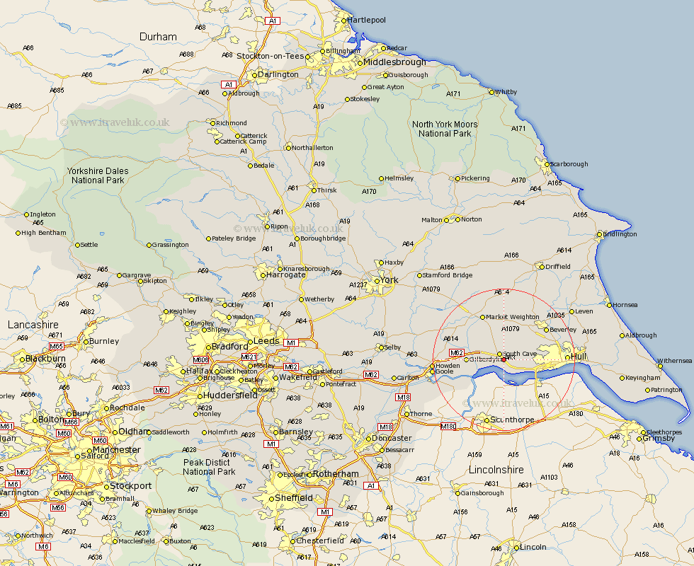
Yorkshire Map Showing Location of Brantingham
Population: 410
Easting: 493405 Northing: 429136
Latitude: 53.75 Longitude: -0.58
 = Brantingham
Easting: 493405 Northing: 429136
Latitude: 53.75 Longitude: -0.58
= Brantingham
This Brantingham map below is supplied by Google. Use the tools in the top left corner to zoom into street level or zoom out for a road map, you may also need to zoom in to see Brantingham on the map. Click and drag the map to move around. If the map fails to load try and refresh your browser or zoom in or out (+ or -).
Update - it seems Google no longer allow people to use their maps for free! This Brantingham map sometimes loads and sometimes gives a error. I am working on a solution.
Closest 30 Towns or Cities to Brantingham (Population over 500)
Welton 2.16km South Cave 2.16km Newport 3.29km North Cave 4.76km Brough 5.56km North Ferriby 6.61km Ferriby 6.61km Swanland 6.83km Skidby 8.52km Kirk Ella 8.77km Willerby 8.96km Anlaby 10.04km Hessle 10.54km Bishop Burton 10.76km Barton upon Humber 12.34km Barton 12.34km Eastrington 13.15km Cottingham 13.66km Cherry Burton 14.08km Market Weighton 14.08km Beverley 14.34km Woodmansey 15.09km Holme 15.19km Holme upon Spalding Moor 15.19km Leconfield 15.65km Leckonfield 15.65km Wawne 16.31km Hull 16.45km Kingston upon Hull 16.86km Sutton 17.91km