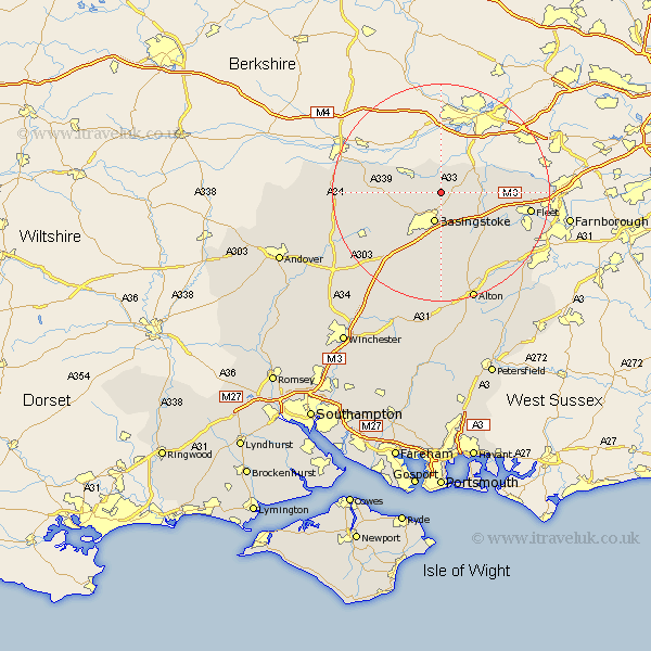
Hampshire Map Showing Location of Bramley
Population: 3348
District: Basingstoke and Deane
Easting: 465037 Northing: 157979
Latitude: 51.32 Longitude: -1.07
 = Bramley
District: Basingstoke and Deane
Easting: 465037 Northing: 157979
Latitude: 51.32 Longitude: -1.07
= Bramley
This Bramley map below is supplied by Google. Use the tools in the top left corner to zoom into street level or zoom out for a road map, you may also need to zoom in to see Bramley on the map. Click and drag the map to move around. If the map fails to load try and refresh your browser or zoom in or out (+ or -).
Update - it seems Google no longer allow people to use their maps for free! This Bramley map sometimes loads and sometimes gives a error. I am working on a solution.
Closest 30 Towns or Cities to Bramley (Population over 500)
Silchester 3.7km Sherfield upon Loddon 3.94km Sherfield 3.94km Basingstoke 5.68km Tadley 5.93km Basing 6.02km Baughurst 7.19km Rotherwick 7.88km Hook 9.83km Oakley 10.99km Odiham 11.87km Upton Grey 12.05km Kingsclere 12.74km Hartley Wintney 12.88km Winchfield 13.91km Ecchinswell 14.02km Dummer 14.21km Long Sutton 14.48km North Waltham 15.31km Overton 15.77km Fleet 16.64km Burghclere 17.37km Highclere 18.62km Crondall 18.73km Froyle 19.68km Blackwater 19.69km Bentley 20.34km Alton 21.2km Whitchurch 21.63km Aldershot 22.14km