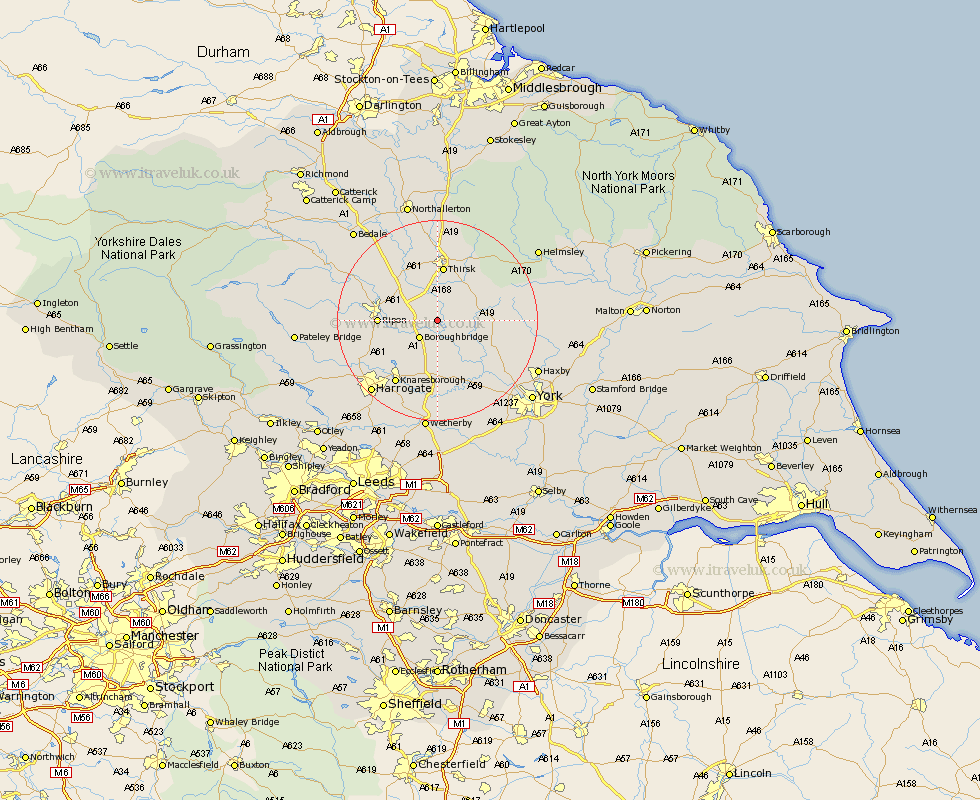
Yorkshire Map Showing Location of Brafferton
Population: 257
District: Hambleton
Easting: 442483 Northing: 469196
Latitude: 54.12 Longitude: -1.35
 = Brafferton
District: Hambleton
Easting: 442483 Northing: 469196
Latitude: 54.12 Longitude: -1.35
= Brafferton
This Brafferton map below is supplied by Google. Use the tools in the top left corner to zoom into street level or zoom out for a road map, you may also need to zoom in to see Brafferton on the map. Click and drag the map to move around. If the map fails to load try and refresh your browser or zoom in or out (+ or -).
Update - it seems Google no longer allow people to use their maps for free! This Brafferton map sometimes loads and sometimes gives a error. I am working on a solution.
Closest 30 Towns or Cities to Brafferton (Population over 500)
Boroughbridge 4.94km Marton 5.67km Marton le Moor 5.67km Dishforth 5.71km Raskelf 6.77km Topcliffe 7.72km Great Ouseburn 7.73km Ouseburn 7.73km Alne 8.47km Easingwold 9.78km Tollerton 10.32km Bishop Monkton 10.46km Monkton 10.46km Ripon 10.86km Thirsk 11.17km Burton Leonard 11.25km Whixley 11.33km Linton upon Ouse 11.34km Linton 11.34km Linton-on-Ouse 11.34km Linton on Ouse 11.34km Newton 12.71km Newton upon Ouse 12.71km Green Hammerton 13.38km Huby 14.61km Knaresborough 15.05km Hammerton 15.19km Kirk Hammerton 15.19km Stillington 15.32km Shipton 16.01km