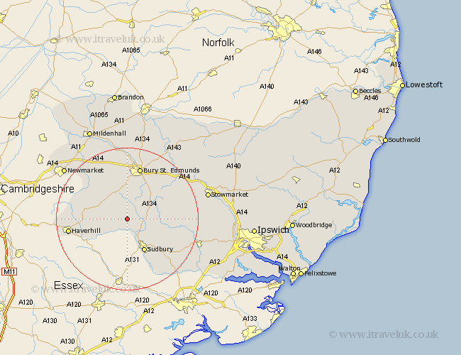
Suffolk Map Showing Location of Boxted
Population: 107
District: Babergh
Easting: 582558 Northing: 249886
Latitude: 52.12 Longitude: 0.67
 = Boxted
District: Babergh
Easting: 582558 Northing: 249886
Latitude: 52.12 Longitude: 0.67
= Boxted
This Boxted map below is supplied by Google. Use the tools in the top left corner to zoom into street level or zoom out for a road map, you may also need to zoom in to see Boxted on the map. Click and drag the map to move around. If the map fails to load try and refresh your browser or zoom in or out (+ or -).
Update - it seems Google no longer allow people to use their maps for free! This Boxted map sometimes loads and sometimes gives a error. I am working on a solution.
Closest 30 Towns or Cities to Boxted (Population over 500)
Glemsford 1.86km Cavendish 4.36km Lawshall 5.87km Long Melford 6.52km Clare 6.8km Wickhambrook 7.77km Chedburgh 8.16km Hundon 8.18km Cockfield 8.78km Lavenham 9.29km Waldingfield 9.72km Great Waldingfield 9.72km Chevington 9.87km Sudbury 10.33km Great Cornard 11.52km Bradfield Saint George 12.98km Bradfield 12.98km Bradfield St George 12.98km Bradfield St. George 12.98km Rushbrooke 13.04km Kedington 13.06km Barrow 14.16km Bury St. Edmunds 15.21km Bury Saint Edmunds 15.21km Bury St Edmunds 15.21km Hitcham 15.93km Haverhill 16.37km Rattlesden 16.53km Fornham All Saints 16.83km Risby 16.83km