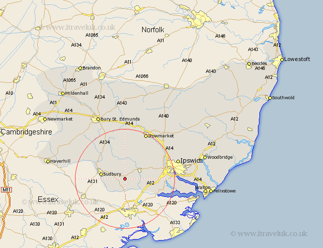
Suffolk Map Showing Location of Boxford
Population: 1258
District: Babergh
Easting: 596686 Northing: 239290
Latitude: 52.02 Longitude: 0.87
 = Boxford
District: Babergh
Easting: 596686 Northing: 239290
Latitude: 52.02 Longitude: 0.87
= Boxford
This Boxford map below is supplied by Google. Use the tools in the top left corner to zoom into street level or zoom out for a road map, you may also need to zoom in to see Boxford on the map. Click and drag the map to move around. If the map fails to load try and refresh your browser or zoom in or out (+ or -).
Update - it seems Google no longer allow people to use their maps for free! This Boxford map sometimes loads and sometimes gives a error. I am working on a solution.
Closest 30 Towns or Cities to Boxford (Population over 500)
Polstead 2.94km Hadleigh 6.8km Layham 6.84km Great Cornard 7.09km Waldingfield 7.96km Great Waldingfield 7.96km Sudbury 9.31km Bildeston 9.87km Lavenham 10.32km Hitcham 11.35km Long Melford 11.67km East Bergholt 11.68km Hintlesham 13.08km Great Bricett 13.68km Capel Saint Mary 13.81km Capel St Mary 13.81km Capel St. Mary 13.81km Capel 13.81km Ringshall 15.22km Bentley 15.29km Manningtree 15.58km Somersham 15.59km Cockfield 15.88km Sprughton 16.39km Sproughton 16.39km Glemsford 16.52km Bramford 16.9km Finborough 17.29km Great Finborough 17.29km Lawshall 17.4km