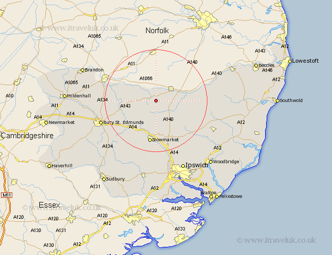
Suffolk Map Showing Location of Botesdale
Population: 1265
Area Size (ha): 45
District: Mid Suffolk
Easting: 605510 Northing: 274906
Latitude: 52.33 Longitude: 1.02
 = Botesdale
Area Size (ha): 45
District: Mid Suffolk
Easting: 605510 Northing: 274906
Latitude: 52.33 Longitude: 1.02
= Botesdale
This Botesdale map below is supplied by Google. Use the tools in the top left corner to zoom into street level or zoom out for a road map, you may also need to zoom in to see Botesdale on the map. Click and drag the map to move around. If the map fails to load try and refresh your browser or zoom in or out (+ or -).
Update - it seems Google no longer allow people to use their maps for free! This Botesdale map sometimes loads and sometimes gives a error. I am working on a solution.
Closest 30 Towns or Cities to Botesdale (Population over 500)
Wortham 2.93km Redgrave 3.88km Gislingham 4.34km Hopton 6.77km Hepworth 6.79km Bacton 7.41km Stanton 8.14km Barningham 8.14km Badwell Ash 8.78km Eye 9.25km Thorndon 9.69km Mendlesham 9.87km Bardwell 11.48km Hoxne 12.59km Old Newton 12.97km Ixworth 13km Elmswell 13.04km Haughley 13.16km Norton 13.78km Pakenham 14.5km Honington 14.72km Woolpit 15.2km Troston 15.96km Thurston 16.46km Stowmarket 16.83km Stradbroke 17.09km Debenham 17.22km Worlingworth 17.51km Great Barton 18.54km Rattlesden 18.99km