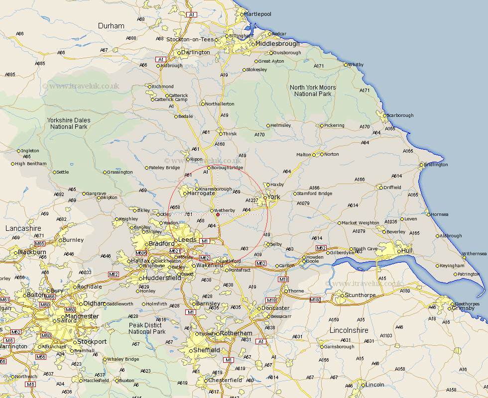
Yorkshire Map Showing Location of Boston Spa
Population: 5522
Area Size (ha): 161
District: Leeds
Easting: 442704 Northing: 445088
Latitude: 53.9 Longitude: -1.35
 = Boston Spa
Area Size (ha): 161
District: Leeds
Easting: 442704 Northing: 445088
Latitude: 53.9 Longitude: -1.35
= Boston Spa
This Boston Spa map below is supplied by Google. Use the tools in the top left corner to zoom into street level or zoom out for a road map, you may also need to zoom in to see Boston Spa on the map. Click and drag the map to move around. If the map fails to load try and refresh your browser or zoom in or out (+ or -).
Update - it seems Google no longer allow people to use their maps for free! This Boston Spa map sometimes loads and sometimes gives a error. I am working on a solution.
Closest 30 Towns or Cities to Boston Spa (Population over 500)
Bramham 1.86km Thorpe Arch 2.15km Thorp Arch 2.15km Wetherby 2.87km Collingham 3.28km Tadcaster 5.77km Bardsey 5.77km East Keswick 6.06km Thorner 7.07km Scarcroft 7.53km Aberford 9.33km Long Marston 9.45km Hammerton 9.82km Kirk Hammerton 9.82km Harewood 9.83km Scholes 10.24km Ulleskelf 10.36km Micklefield 11.17km Rufforth 11.29km Green Hammerton 11.59km Church Fenton 12.74km Sherburn in Elmet 12.91km Sherburn 12.91km Whixley 13.16km Garforth 13.16km Pannal 13.23km Knaresborough 13.49km Weeton 14.31km Copmanthorpe 14.31km Kippax 14.86km