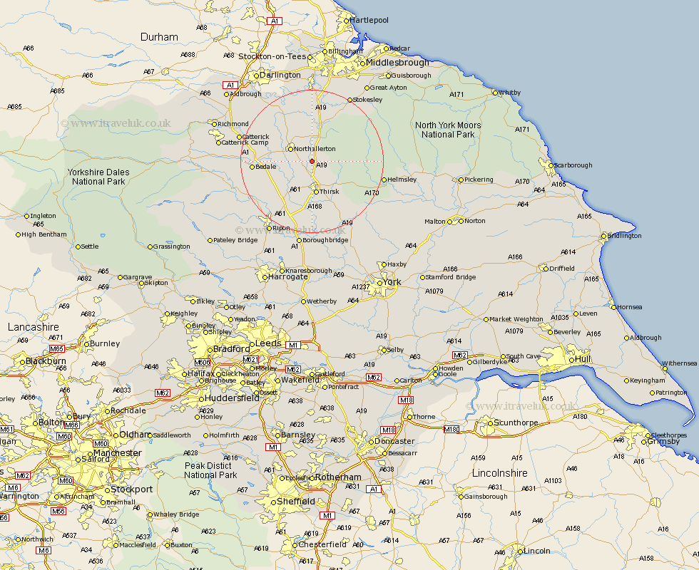
Yorkshire Map Showing Location of Borrowby
Population: 394
District: Hambleton
Easting: 442295 Northing: 489588
Latitude: 54.3 Longitude: -1.35
 = Borrowby
District: Hambleton
Easting: 442295 Northing: 489588
Latitude: 54.3 Longitude: -1.35
= Borrowby
This Borrowby map below is supplied by Google. Use the tools in the top left corner to zoom into street level or zoom out for a road map, you may also need to zoom in to see Borrowby on the map. Click and drag the map to move around. If the map fails to load try and refresh your browser or zoom in or out (+ or -).
Update - it seems Google no longer allow people to use their maps for free! This Borrowby map sometimes loads and sometimes gives a error. I am working on a solution.
Closest 30 Towns or Cities to Borrowby (Population over 500)
Northallerton 6.55km Brompton 7.04km Osmotherley 8.09km Thirsk 9.33km Topcliffe 13.16km Whorlton 14.5km Bedale 15.26km North Cowton 17.08km Dishforth 17.23km Crakehall 17.3km East Cowton 17.59km Cowton 17.59km West Tanfield 17.94km Tanfield 17.94km Scorton 18.67km Ampleforth 18.8km Helmsley 19.22km Middleton 19.31km Middleton upon Leven 19.31km Raskelf 19.64km Catterick 19.81km Seamer 20.45km Great Broughton 20.47km Stokesley 20.93km Masham 21.58km Ingleby 21.95km Easingwold 22.6km Ripon 23.08km Grewelthorpe 23.42km Boroughbridge 24.31km