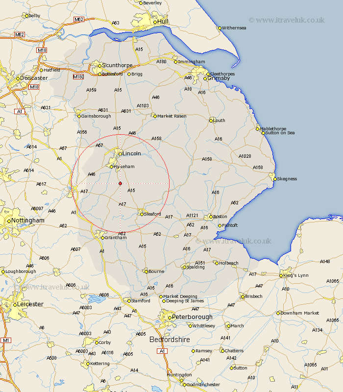
Lincolnshire Map Showing Location of Boothby Graffoe
Population: 203
District: North Kesteven
Easting: 498150 Northing: 358762
Latitude: 53.12 Longitude: -0.53
 = Boothby Graffoe
District: North Kesteven
Easting: 498150 Northing: 358762
Latitude: 53.12 Longitude: -0.53
= Boothby Graffoe
This Boothby Graffoe map below is supplied by Google. Use the tools in the top left corner to zoom into street level or zoom out for a road map, you may also need to zoom in to see Boothby Graffoe on the map. Click and drag the map to move around. If the map fails to load try and refresh your browser or zoom in or out (+ or -).
Update - it seems Google no longer allow people to use their maps for free! This Boothby Graffoe map sometimes loads and sometimes gives a error. I am working on a solution.
Closest 30 Towns or Cities to Boothby Graffoe (Population over 500)
Wellingore 1.86km Navenby 2.17km Waddington 5.56km Welbourn 5.67km Bassingham 6.67km Aubourn 6.68km Hykeham 8.13km North Hykeham 8.13km Bloxholm 8.63km Bloxholme 8.63km Branston 8.64km Metheringham 9.09km Scopwick 9.09km Nocton 9.56km Dunston 9.63km Fulbeck 9.86km Thorpe 9.97km Thorpe on the Hill 9.97km Thorpe-on-the-Hill 9.97km Brauncewell 9.98km Heighington 10.27km Cranwell 10.29km Potter Hanworth 10.74km Swinderby 11.72km Digby 11.73km Washingborough 11.97km Caythorpe 11.98km Eagle 12.45km Lincoln 12.96km Martin 13.35km