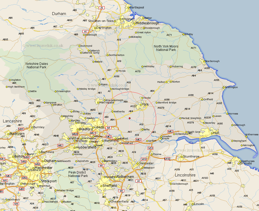
Yorkshire Map Showing Location of Bolton Percy
Population: 305
District: Selby
Easting: 452601 Northing: 441484
Latitude: 53.87 Longitude: -1.2
 = Bolton Percy
District: Selby
Easting: 452601 Northing: 441484
Latitude: 53.87 Longitude: -1.2
= Bolton Percy
This Bolton Percy map below is supplied by Google. Use the tools in the top left corner to zoom into street level or zoom out for a road map, you may also need to zoom in to see Bolton Percy on the map. Click and drag the map to move around. If the map fails to load try and refresh your browser or zoom in or out (+ or -).
Update - it seems Google no longer allow people to use their maps for free! This Bolton Percy map sometimes loads and sometimes gives a error. I am working on a solution.
Closest 30 Towns or Cities to Bolton Percy (Population over 500)
Ulleskelf 2.15km Tadcaster 4.74km Church Fenton 5.67km Cawood 6.61km Copmanthorpe 7.07km Acaster Malbis 7.53km Sherburn 8.11km Sherburn in Elmet 8.11km Wistow 8.6km Rufforth 9.26km Long Marston 9.52km Bishopthorne 9.89km Bishopthorpe 9.89km Escrick 10.01km Bramham 10.01km Thorp Arch 10.36km Thorpe Arch 10.36km Aberford 10.36km Boston Spa 10.51km Riccall 10.52km Hambleton 11.33km Micklefield 11.47km Poppleton 11.59km Upper Poppleton 11.59km South Milford 11.59km Selby 12.75km Clifton 12.91km Monk Fryston 13.16km Wetherby 13.24km York 13.49km