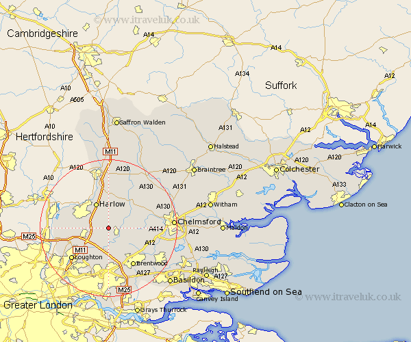
Essex Map Showing Location of Bobbingworth
Population: 279
District: Epping Forest
Easting: 553110 Northing: 204373
Latitude: 51.72 Longitude: 0.22
 = Bobbingworth
District: Epping Forest
Easting: 553110 Northing: 204373
Latitude: 51.72 Longitude: 0.22
= Bobbingworth
This Bobbingworth map below is supplied by Google. Use the tools in the top left corner to zoom into street level or zoom out for a road map, you may also need to zoom in to see Bobbingworth on the map. Click and drag the map to move around. If the map fails to load try and refresh your browser or zoom in or out (+ or -).
Update - it seems Google no longer allow people to use their maps for free! This Bobbingworth map sometimes loads and sometimes gives a error. I am working on a solution.
Closest 30 Towns or Cities to Bobbingworth (Population over 500)
Chipping Ongar 2.95km Fyfield 3.91km Ongar Station 3.91km North Weald 3.91km High Ongar 3.91km North Weald Bassett 4.96km Stanford Rivers 5.56km Epping 7.14km Kelvedon Hatch 7.21km Matching 7.41km Harlow 8.17km Hatfield Heath 9.26km Navestock 9.34km Theydon Bois 9.78km Sheering 9.88km Nazeing 10.5km Roxwell 12.06km Ingatestone 12.76km High Easter 13.04km Mountnessing 13.06km Brentwood 13.08km Hallingbury 13.17km Great Hallingbury 13.17km Hatfield Broad Oak 13.17km Roydon 13.79km Loughton 13.89km Waltham Abbey 14.27km Margaretting 14.28km Chigwell 14.43km Writtle 14.93km