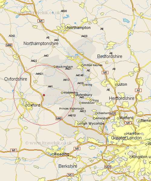
Buckinghamshire Map Showing Location of Boarstall
Population: 128
District: Aylesbury Vale
Easting: 463179 Northing: 213565
Latitude: 51.82 Longitude: -1.08
 = Boarstall
District: Aylesbury Vale
Easting: 463179 Northing: 213565
Latitude: 51.82 Longitude: -1.08
= Boarstall
This Boarstall map below is supplied by Google. Use the tools in the top left corner to zoom into street level or zoom out for a road map, you may also need to zoom in to see Boarstall on the map. Click and drag the map to move around. If the map fails to load try and refresh your browser or zoom in or out (+ or -).
Update - it seems Google no longer allow people to use their maps for free! This Boarstall map sometimes loads and sometimes gives a error. I am working on a solution.
Closest 30 Towns or Cities to Boarstall (Population over 500)
Oakley 2.18km Brill 2.29km Warminghall 5.68km Worminghall 5.68km Grendon Underwood 7.98km Long Crendon 8.84km Marsh Gibbon 9.54km Chearsley 10.72km Waddesdon 11.6km Cuddington 12.05km Quainton 12.73km Haddenham 12.74km Twyford 13.42km Claydon 14.67km Steeple Claydon 14.67km Stone 16.15km North Marston 16.62km Gawcott 17.63km Longwick 18.54km Bledlow 18.6km Tingewick 18.67km Whitchurch 18.7km Whitechurch 18.7km Padbury 19.02km Aylesbury 19.48km Stoke Mandeville 20.96km Winslow 21km Radnage 21.04km Princes Risborough 21.46km Buckingham 21.51km