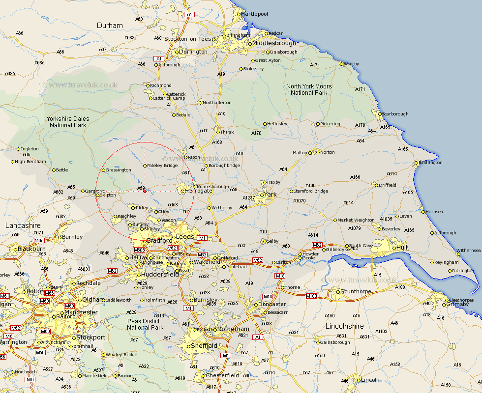
Yorkshire Map Showing Location of Blubberhouses
Population: 34
District: Harrogate
Easting: 416392 Northing: 454188
Latitude: 53.98 Longitude: -1.75
 = Blubberhouses
District: Harrogate
Easting: 416392 Northing: 454188
Latitude: 53.98 Longitude: -1.75
= Blubberhouses
This Blubberhouses map below is supplied by Google. Use the tools in the top left corner to zoom into street level or zoom out for a road map, you may also need to zoom in to see Blubberhouses on the map. Click and drag the map to move around. If the map fails to load try and refresh your browser or zoom in or out (+ or -).
Update - it seems Google no longer allow people to use their maps for free! This Blubberhouses map sometimes loads and sometimes gives a error. I am working on a solution.
Closest 30 Towns or Cities to Blubberhouses (Population over 500)
Darley 6.45km Burley in Wharfedale 7.41km Burley 7.41km Dacre 7.73km Ilkley 8.59km Otley 10.24km Birstwith 10.34km Addingham 10.34km Hampsthwaite 10.48km Menston 11.17km Bewerley 11.17km Poole 12.73km Pool 12.73km Pool-in-Wharfedale 12.73km Guiseley 13.15km Arthington 13.5km Arthington Junction Station 13.5km Killinghall 13.59km Yeadon 14.07km Weeton 14.1km Bramhope 14.14km Harrogate 14.17km Pannal 14.65km Baildon 14.86km Silsden 15.16km Embsay 15.37km Keighley 15.58km Bingley 15.79km Shipley 16.71km Steeton 17.17km