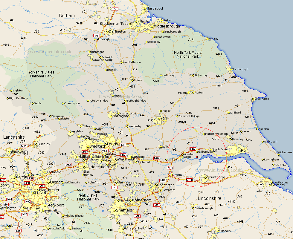
Yorkshire Map Showing Location of Blacktoft
Population: 321
Easting: 483582 Northing: 425245
Latitude: 53.72 Longitude: -0.73
 = Blacktoft
Easting: 483582 Northing: 425245
Latitude: 53.72 Longitude: -0.73
= Blacktoft
This Blacktoft map below is supplied by Google. Use the tools in the top left corner to zoom into street level or zoom out for a road map, you may also need to zoom in to see Blacktoft on the map. Click and drag the map to move around. If the map fails to load try and refresh your browser or zoom in or out (+ or -).
Update - it seems Google no longer allow people to use their maps for free! This Blacktoft map sometimes loads and sometimes gives a error. I am working on a solution.
Closest 30 Towns or Cities to Blacktoft (Population over 500)
Eastrington 4.95km Newport 7.55km Swinefleet 7.56km Hook 7.68km North Cave 7.81km Goole 8.77km Howden 8.96km Brough 10.05km South Cave 10.38km Airmyn 10.97km Welton 11.12km Holme upon Spalding Moor 13.15km Holme 13.15km Rawcliffe 14.74km North Ferriby 15.35km Ferriby 15.35km Seaton Ross 15.8km Bubwith 16.4km Swanland 16.55km Market Weighton 17.25km Hemingbrough 17.36km Cliff Common Station 17.36km Cliffe Common 17.36km Carlton 18.74km Kirk Ella 19km Barlow 19km Skidby 19.03km Willerby 19.44km Hessle 19.74km Anlaby 19.82km