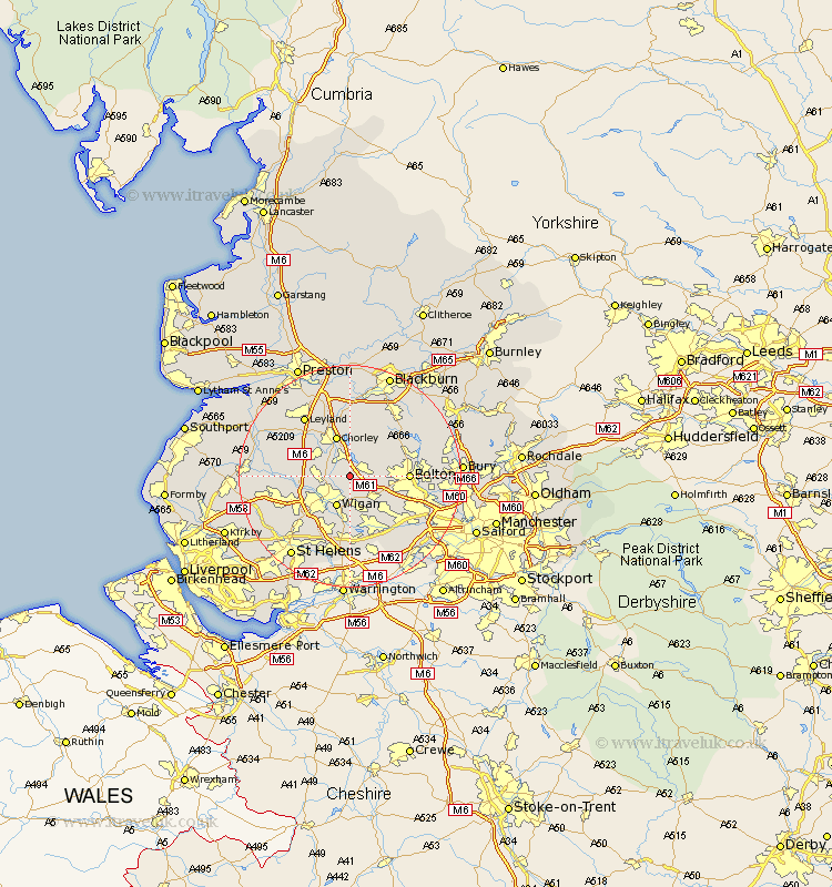
Lancashire Map Showing Location of Blackrod
Population: 5557
Area Size (ha): 90
District: Bolton
Easting: 361386 Northing: 409819
Latitude: 53.58 Longitude: -2.58
 = Blackrod
Area Size (ha): 90
District: Bolton
Easting: 361386 Northing: 409819
Latitude: 53.58 Longitude: -2.58
= Blackrod
This Blackrod map below is supplied by Google. Use the tools in the top left corner to zoom into street level or zoom out for a road map, you may also need to zoom in to see Blackrod on the map. Click and drag the map to move around. If the map fails to load try and refresh your browser or zoom in or out (+ or -).
Update - it seems Google no longer allow people to use their maps for free! This Blackrod map sometimes loads and sometimes gives a error. I am working on a solution.
Closest 30 Towns or Cities to Blackrod (Population over 500)
Haigh 1.86km Adlington 2.16km Horwich 2.88km Standish 5.5km Hindley 5.56km Westhoughton 5.75km Coppull 5.76km Ince 5.98km Wigan 5.98km Ince-in-Makerfield 5.98km Shevington 6.86km Abram 7.41km Chorley 7.74km Appley Bridge 9km Atherton 9.23km Euxton 9.23km Heapey 9.53km Bolton 9.9km Eccleston 10.41km Tyldesley 10.69km Brinscall 11.17km Ashton 11.96km Ashton in Makerfield 11.96km Leigh 11.96km Billinge 12.05km Parbold 12.1km Bradshaw 12.24km Bromley Cross 12.24km Penrith 12.36km Mawdesley 12.66km