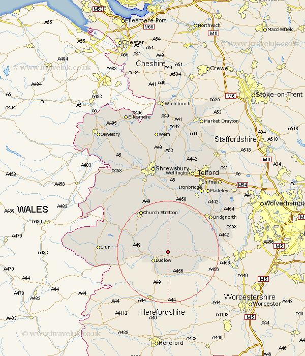
Shropshire Map Showing Location of Bitterley
Population: 802
District: South Shropshire
Easting: 355780 Northing: 278239
Latitude: 52.4 Longitude: -2.65
 = Bitterley
District: South Shropshire
Easting: 355780 Northing: 278239
Latitude: 52.4 Longitude: -2.65
= Bitterley
This Bitterley map below is supplied by Google. Use the tools in the top left corner to zoom into street level or zoom out for a road map, you may also need to zoom in to see Bitterley on the map. Click and drag the map to move around. If the map fails to load try and refresh your browser or zoom in or out (+ or -).
Update - it seems Google no longer allow people to use their maps for free! This Bitterley map sometimes loads and sometimes gives a error. I am working on a solution.
Closest 30 Towns or Cities to Bitterley (Population over 500)
Bitterley 0km Caynham 5.67km Ludlow 6.76km Diddlebury 8.69km Cleobury Mortimer 11.46km Ditton Priors 12.47km Craven Arms 12.97km Rushbury 13.74km Wistanstow 15.45km Kinlet 15.94km Highley 18.92km Church Stretton 19.53km Bucknell 20.69km Alveley 21.09km Lydbury North 21.65km North Lydbury 21.65km Bridgnorth 21.67km Much Wenlock 23.25km Worfield 25.42km Barrow 25.47km Barrow Bridge 25.47km Cressage 26.04km Clun 26.07km Broseley 26.61km Claverley 27.96km Berrington 28km Condover 28.61km Ironbridge 28.76km Madeley 29.8km Shelve 30.41km