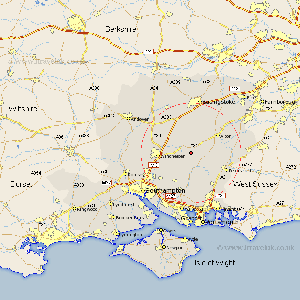
Hampshire Map Showing Location of Bishops Sutton
Population: 419
District: Winchester
Easting: 460720 Northing: 130123
Latitude: 51.07 Longitude: -1.13
 = Bishops Sutton
District: Winchester
Easting: 460720 Northing: 130123
Latitude: 51.07 Longitude: -1.13
= Bishops Sutton
This Bishops Sutton map below is supplied by Google. Use the tools in the top left corner to zoom into street level or zoom out for a road map, you may also need to zoom in to see Bishops Sutton on the map. Click and drag the map to move around. If the map fails to load try and refresh your browser or zoom in or out (+ or -).
Update - it seems Google no longer allow people to use their maps for free! This Bishops Sutton map sometimes loads and sometimes gives a error. I am working on a solution.
Closest 30 Towns or Cities to Bishops Sutton (Population over 500)
New Alresford 2.97km Cheriton 2.98km Ropley 3.49km Bramdean 3.89km West Meon 6.57km Medstead 7.25km Four Marks 8.05km Froxfield 10.85km Upper Farringdon 11.11km Faringdon 11.11km Farringdon 11.11km Corhampton 11.12km East Meon 11.62km Kings Worthy 11.79km Micheldever 11.9km Owslebury 11.91km Alton 12.83km Winchester 12.86km Droxford 12.98km Upham 13.14km Twyford 13.97km Selborne 14.09km Bishops Waltham 14.23km Bishop's Waltham 14.23km Soberton 14.83km Dummer 14.87km Swanmore 15.01km Steep 15.05km Compton 15.05km North Waltham 15.23km