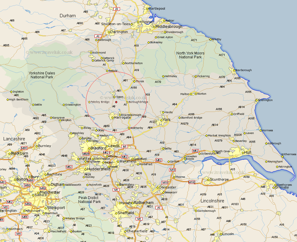
Yorkshire Map Showing Location of Monkton
Population: 775
District: Harrogate
Easting: 432706 Northing: 465400
Latitude: 54.08 Longitude: -1.5
 = Monkton
District: Harrogate
Easting: 432706 Northing: 465400
Latitude: 54.08 Longitude: -1.5
= Monkton
This Monkton map below is supplied by Google. Use the tools in the top left corner to zoom into street level or zoom out for a road map, you may also need to zoom in to see Monkton on the map. Click and drag the map to move around. If the map fails to load try and refresh your browser or zoom in or out (+ or -).
Update - it seems Google no longer allow people to use their maps for free! This Monkton map sometimes loads and sometimes gives a error. I am working on a solution.
Closest 30 Towns or Cities to Monkton (Population over 500)
Burton Leonard 1.85km Ripon 3.87km Boroughbridge 6.52km Killinghall 8.1km Marton 8.89km Marton le Moor 8.89km Dishforth 9.19km Birstwith 9.43km Knaresborough 9.51km Hampsthwaite 9.87km Harrogate 11.33km Ouseburn 12.52km Great Ouseburn 12.52km Topcliffe 13.47km Kirkby Malzeard 13.47km Tanfield 13.68km West Tanfield 13.68km Whixley 14.07km Darley 14.19km Dacre 14.62km Grewelthorpe 14.8km Pannal 14.98km Green Hammerton 16.01km Hammerton 17.15km Kirk Hammerton 17.15km Raskelf 17.22km Linton-on-Ouse 17.24km Linton on Ouse 17.24km Linton 17.24km Linton upon Ouse 17.24km