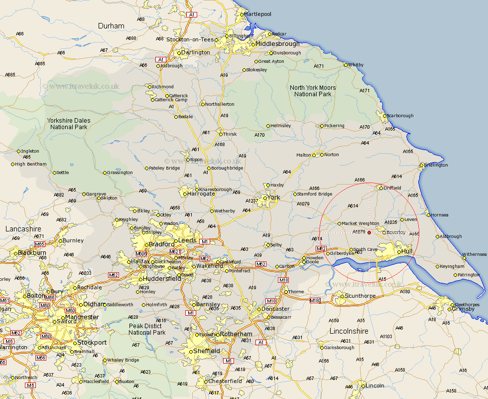
Yorkshire Map Showing Location of Bishop Burton
Population: 628
Easting: 498703 Northing: 438515
Latitude: 53.83 Longitude: -0.5
 = Bishop Burton
Easting: 498703 Northing: 438515
Latitude: 53.83 Longitude: -0.5
= Bishop Burton
This Bishop Burton map below is supplied by Google. Use the tools in the top left corner to zoom into street level or zoom out for a road map, you may also need to zoom in to see Bishop Burton on the map. Click and drag the map to move around. If the map fails to load try and refresh your browser or zoom in or out (+ or -).
Update - it seems Google no longer allow people to use their maps for free! This Bishop Burton map sometimes loads and sometimes gives a error. I am working on a solution.
Closest 30 Towns or Cities to Bishop Burton (Population over 500)
Cherry Burton 3.71km Leconfield 4.96km Leckonfield 4.96km Beverley 5.47km Skidby 5.98km Lockington 7.5km Woodmansey 7.88km Willerby 8.1km Tickton 8.51km Cottingham 9.47km Kirk Ella 9.83km South Cave 9.9km Wawne 10.52km Swanland 11.17km Market Weighton 11.55km Anlaby 11.95km Welton 11.95km North Cave 12.32km Newport 12.75km Ferriby 12.97km North Ferriby 12.97km Leven 13.25km Sutton on Hull 13.26km Sutton 13.26km Sutton-on-Hull 13.26km Hessle 13.69km Cranswick 13.69km Hull 13.87km North Frodingham 14.87km Brough 15.8km