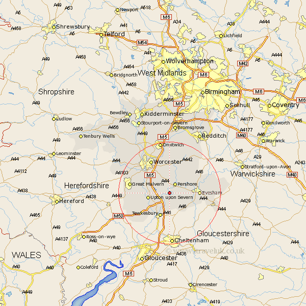
Worcestershire Map Showing Location of Birlingham
Population: 325
District: Wychavon
Easting: 393148 Northing: 242822
Latitude: 52.08 Longitude: -2.1
 = Birlingham
District: Wychavon
Easting: 393148 Northing: 242822
Latitude: 52.08 Longitude: -2.1
= Birlingham
This Birlingham map below is supplied by Google. Use the tools in the top left corner to zoom into street level or zoom out for a road map, you may also need to zoom in to see Birlingham on the map. Click and drag the map to move around. If the map fails to load try and refresh your browser or zoom in or out (+ or -).
Update - it seems Google no longer allow people to use their maps for free! This Birlingham map sometimes loads and sometimes gives a error. I am working on a solution.
Closest 30 Towns or Cities to Birlingham (Population over 500)
Defford 1.14km Eckington 2.17km Pershore 4.36km Wadborough 5.05km Bredon 5.68km Fladbury 6.8km Cropthorne 6.83km Peopleton 7.42km Ripple 7.96km Charlton 8.18km Seven Stoke 8.18km Severn Stoke 8.18km Upton on Severn 8.18km Upton 8.18km Upton upon Severn 8.18km Upton-on-Severn 8.18km Beckford 8.7km Kempsey 8.81km Ashton-under-Hill 8.81km Ashton under Hill 8.81km Hanley Castle 9.11km Sedgeberrow 10.68km Bishampton 10.88km Evesham 11.39km Church Lench 12.65km Offenham 12.66km Crowle 13.03km Harvington 13.7km Powick 13.82km Welland 14.16km