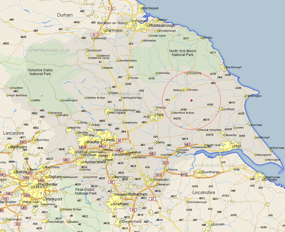
Yorkshire Map Showing Location of Birdsall
Population: 180
District: Ryedale
Easting: 482886 Northing: 464180
Latitude: 54.07 Longitude: -0.73
 = Birdsall
District: Ryedale
Easting: 482886 Northing: 464180
Latitude: 54.07 Longitude: -0.73
= Birdsall
This Birdsall map below is supplied by Google. Use the tools in the top left corner to zoom into street level or zoom out for a road map, you may also need to zoom in to see Birdsall on the map. Click and drag the map to move around. If the map fails to load try and refresh your browser or zoom in or out (+ or -).
Update - it seems Google no longer allow people to use their maps for free! This Birdsall map sometimes loads and sometimes gives a error. I am working on a solution.
Closest 30 Towns or Cities to Birdsall (Population over 500)
Norton 8.08km Malton 8.93km Rillington 9.51km Fangfoss 12.9km Wetwang 13.17km Pocklington 14.87km Slingsby 15.12km Stamford Bridge 15.15km Barmby-on-the-Moor 15.8km Barmby 15.8km Barmby on the Moor 15.8km Terrington 16.2km Wilberfoss 16.26km Yedingham 16.66km Sheriff Hutton 17.49km Sherburn 17.97km Thornton Dale 18.56km Thornton-le-Dale 18.56km Snainton 19.33km Strensall 19.67km North Frodingham 19.76km Great Driffield 19.92km Pickering 20.5km Brompton 20.51km Sutton 20.54km Sutton upon Derwent 20.54km Driffield 20.7km Melbourne 21.77km Huntington 21.97km Earswick 21.97km