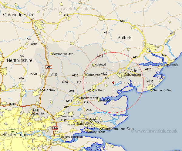
Essex Map Showing Location of Birch
Population: 817
District: Colchester
Easting: 594046 Northing: 218766
Latitude: 51.83 Longitude: 0.82
 = Birch
District: Colchester
Easting: 594046 Northing: 218766
Latitude: 51.83 Longitude: 0.82
= Birch
This Birch map below is supplied by Google. Use the tools in the top left corner to zoom into street level or zoom out for a road map, you may also need to zoom in to see Birch on the map. Click and drag the map to move around. If the map fails to load try and refresh your browser or zoom in or out (+ or -).
Update - it seems Google no longer allow people to use their maps for free! This Birch map sometimes loads and sometimes gives a error. I am working on a solution.
Closest 30 Towns or Cities to Birch (Population over 500)
Copford 2.18km Layer de la Haye 2.29km Marks Tey 4.36km Tolleshunt Knights 6.01km Peldon 6.02km Tiptree 6.82km Feering 7.12km Tolleshunt D'Arcy 7.5km Colchester 7.98km Fingringhoe 8.02km Kelvedon 8.02km Great Tey 8.72km Totham 8.83km Great Totham 8.83km Tollesbury 9.33km West Bergholt 9.34km Fordham 9.34km Rowhedge 9.35km West Mersea 9.36km Tolleshunt Major 9.88km Coggeshall 9.88km Chapel 9.89km Chappel 9.89km Rivenhall 10.31km Wakes Colne 10.34km Winehoe 10.47km Wyvenhoe 10.47km Wivenhoe 10.47km Alresford 11.6km Great Horkesley 11.64km