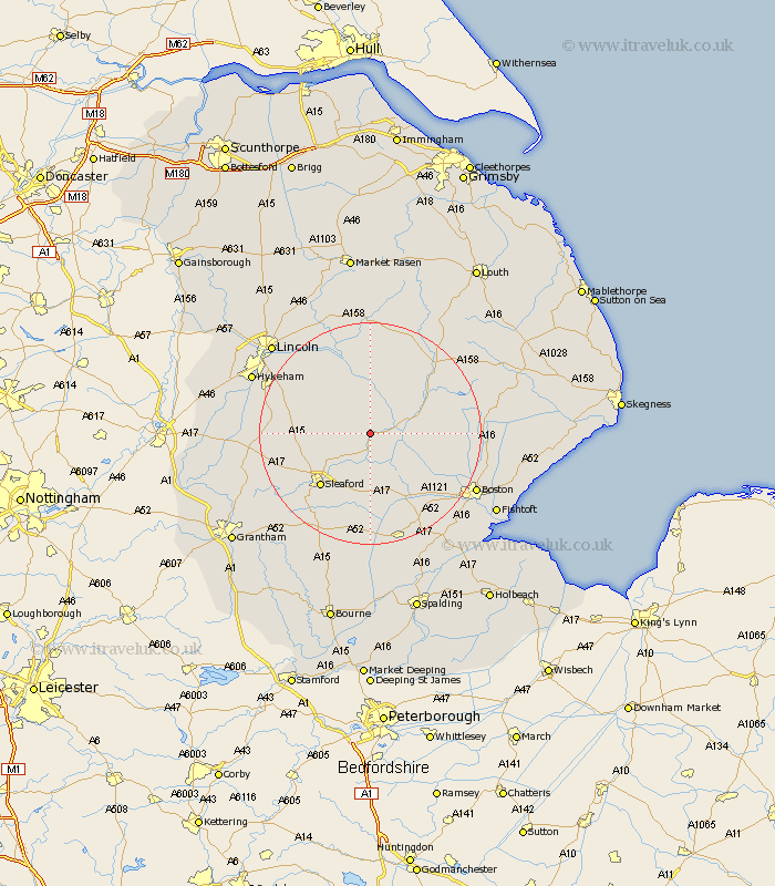
Lincolnshire Map Showing Location of Billinghay
Population: 1808
District: North Kesteven
Easting: 514968 Northing: 355419
Latitude: 53.08 Longitude: -0.28
 = Billinghay
District: North Kesteven
Easting: 514968 Northing: 355419
Latitude: 53.08 Longitude: -0.28
= Billinghay
This Billinghay map below is supplied by Google. Use the tools in the top left corner to zoom into street level or zoom out for a road map, you may also need to zoom in to see Billinghay on the map. Click and drag the map to move around. If the map fails to load try and refresh your browser or zoom in or out (+ or -).
Update - it seems Google no longer allow people to use their maps for free! This Billinghay map sometimes loads and sometimes gives a error. I am working on a solution.
Closest 30 Towns or Cities to Billinghay (Population over 500)
Martin 4.99km Digby 5.57km Tattershall 5.87km Scopwick 8.01km Coningsby 8.63km Woodhall Spa 8.65km Ruskington 8.69km Buskington 8.69km Bloxholm 8.91km Bloxholme 8.91km Metheringham 9.57km Brauncewell 10.68km Dunston 10.75km Leasingham 11.59km Heasingham 11.59km Nocton 12.85km Heckington 12.97km Sleaford 13.11km Cranwell 13.45km Potter Hanworth 14.24km Hale 14.82km Great Hale 14.82km Bardney 15km Carrington 15.58km Navenby 15.69km Branston 16.53km Brothertoft 16.55km Helpringham 16.72km Wellingore 16.8km Banovallum 17.09km