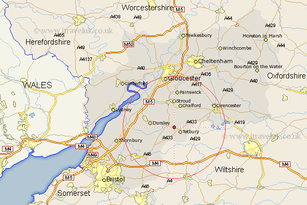
Gloucestershire Map Showing Location of Beverstone
Population: 132
District: Cotswold
Easting: 386164 Northing: 194649
Latitude: 51.65 Longitude: -2.2
 = Beverstone
District: Cotswold
Easting: 386164 Northing: 194649
Latitude: 51.65 Longitude: -2.2
= Beverstone
This Beverstone map below is supplied by Google. Use the tools in the top left corner to zoom into street level or zoom out for a road map, you may also need to zoom in to see Beverstone on the map. Click and drag the map to move around. If the map fails to load try and refresh your browser or zoom in or out (+ or -).
Update - it seems Google no longer allow people to use their maps for free! This Beverstone map sometimes loads and sometimes gives a error. I am working on a solution.
Closest 30 Towns or Cities to Beverstone (Population over 500)
Tetbury 2.96km Nailsworth 3.7km Avening 4.36km Horsley 4.36km Minchinhampton 6.02km Woodchester 7.76km Uley 8.86km Dursley 9.38km Chalford 9.54km Wotton-under-Edge 10.52km Wotton under Edge 10.52km Stroud 11.12km Cam 11.74km Coaley 11.81km Hawkesbury 11.82km Stonehouse 12.52km North Nibley 12.78km Randwick 13.43km Slimbridge 14.65km Wickwar 14.67km Painswick 14.87km Charfield 15.41km Frampton on Severn 17.33km Frampton-on-Severn 17.33km Frampton 17.33km Falfield 17.35km Cicester 17.57km Cirencester 17.57km Siddington 17.63km Berkeley 17.64km