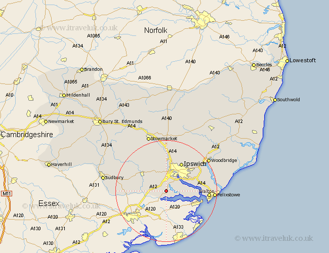
Suffolk Map Showing Location of Bentley
Population: 727
District: Babergh
Easting: 611706 Northing: 236186
Latitude: 51.98 Longitude: 1.08
 = Bentley
District: Babergh
Easting: 611706 Northing: 236186
Latitude: 51.98 Longitude: 1.08
= Bentley
This Bentley map below is supplied by Google. Use the tools in the top left corner to zoom into street level or zoom out for a road map, you may also need to zoom in to see Bentley on the map. Click and drag the map to move around. If the map fails to load try and refresh your browser or zoom in or out (+ or -).
Update - it seems Google no longer allow people to use their maps for free! This Bentley map sometimes loads and sometimes gives a error. I am working on a solution.
Closest 30 Towns or Cities to Bentley (Population over 500)
Capel St. Mary 2.18km Capel 2.18km Capel Saint Mary 2.18km Capel St Mary 2.18km Manningtree 3.88km Stutton 4.93km East Bergholt 4.93km Holbrook 5.71km Sprughton 7.5km Sproughton 7.5km Hintlesham 7.76km Layham 8.81km Chelmondiston 9.13km Bramford 9.34km Nacton 10.92km Claydon 11.35km Shotley 11.56km Hadleigh 11.76km Ipswich 12.5km Polstead 12.69km Bucklesham 12.69km Great Blakenham 13.03km Somersham 13.17km Wirnesham 14.67km Witnesham 14.67km Boxford 15.29km Henley 15.52km Kirkton 16.08km Kirton 16.08km Walton 16.32km