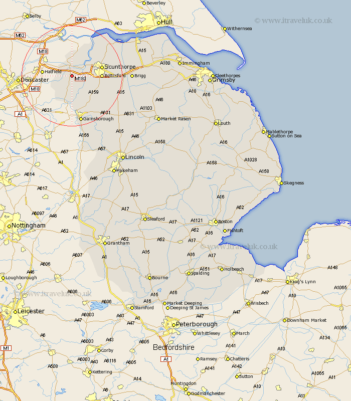
Lincolnshire Map Showing Location of Belton
Population: 2252
Area Size (ha): 87
Easting: 478391 Northing: 406607
Latitude: 53.55 Longitude: -0.82
 = Belton
Area Size (ha): 87
Easting: 478391 Northing: 406607
Latitude: 53.55 Longitude: -0.82
= Belton
This Belton map below is supplied by Google. Use the tools in the top left corner to zoom into street level or zoom out for a road map, you may also need to zoom in to see Belton on the map. Click and drag the map to move around. If the map fails to load try and refresh your browser or zoom in or out (+ or -).
Update - it seems Google no longer allow people to use their maps for free! This Belton map sometimes loads and sometimes gives a error. I am working on a solution.
Closest 30 Towns or Cities to Belton (Population over 500)
Epworth 3.7km West Butterwick 4.41km Burringham 4.78km Crowle 5.56km Gunhouse 6.63km Gunness 6.63km Haxey 7.5km Keadby 7.82km Owston Ferry 8.12km Owston 8.12km Bottesford 11.01km Messingham 11.17km Flixborough 11.51km Scunthorpe 11.61km Scotter 12.38km Burton 14.18km Burton upon Stather 14.18km Scotton 14.4km Blyton 14.57km Morton 16.82km Kirton 17.06km Kirton in Lindsey 17.06km Broughton 17.71km Appleby 18.09km Winterton 18.11km Scawby 18.81km Gainesborough 18.83km Gainsborough 18.83km Hibaldstow 19.54km Winteringham 20.59km