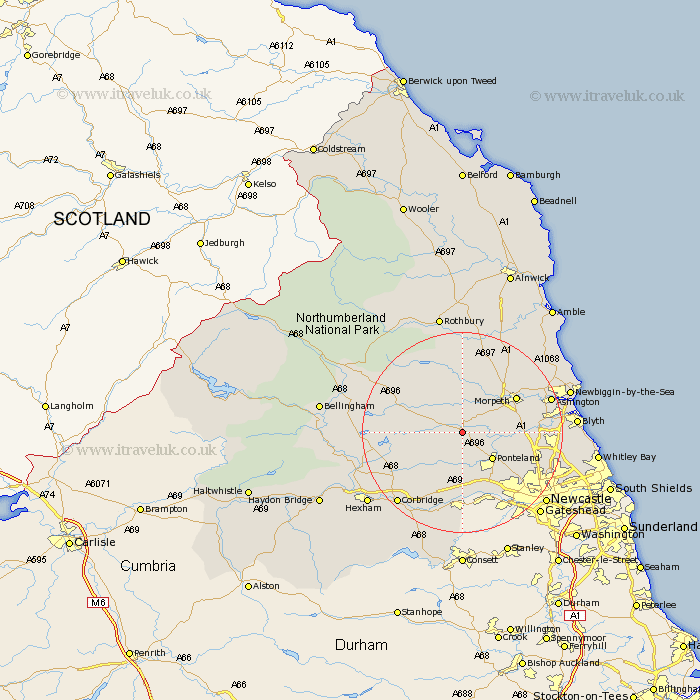
Northumberland Map Showing Location of Belsay
Population: 436
District: Castle Morpeth
Easting: 410634 Northing: 578417
Latitude: 55.1 Longitude: -1.83
 = Belsay
District: Castle Morpeth
Easting: 410634 Northing: 578417
Latitude: 55.1 Longitude: -1.83
= Belsay
This Belsay map below is supplied by Google. Use the tools in the top left corner to zoom into street level or zoom out for a road map, you may also need to zoom in to see Belsay on the map. Click and drag the map to move around. If the map fails to load try and refresh your browser or zoom in or out (+ or -).
Update - it seems Google no longer allow people to use their maps for free! This Belsay map sometimes loads and sometimes gives a error. I am working on a solution.
Closest 30 Towns or Cities to Belsay (Population over 500)
Ponteland 7.68km Stamfordham 7.71km Stannington 10.6km Dinnington 11.05km Morpeth 12.08km Hepscott 12.91km Hebron 13.29km Woolsington 13.31km Pegswood 14.72km Wylam 14.86km Ovingham 14.97km Longhorsley 15.42km Dudley 15.51km Newburn 16.13km Bedlington 16.17km Cramlington 16.34km Prudhoe 16.71km Ashington 17.23km Gosforth 17.72km Killingworth 18.53km Chollerton 18.53km Challerton 18.53km Shiremoor 18.62km Seghill 18.87km Corbridge 18.87km Sandhoe 18.95km Stocksfield 19.28km Long Benton 20.3km Longbenton 20.3km Riding 20.39km