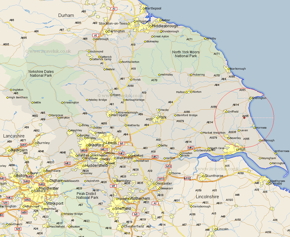
Yorkshire Map Showing Location of Beeford
Population: 955
Easting: 513693 Northing: 453703
Latitude: 53.97 Longitude: -0.27
 = Beeford
Easting: 513693 Northing: 453703
Latitude: 53.97 Longitude: -0.27
= Beeford
This Beeford map below is supplied by Google. Use the tools in the top left corner to zoom into street level or zoom out for a road map, you may also need to zoom in to see Beeford on the map. Click and drag the map to move around. If the map fails to load try and refresh your browser or zoom in or out (+ or -).
Update - it seems Google no longer allow people to use their maps for free! This Beeford map sometimes loads and sometimes gives a error. I am working on a solution.
Closest 30 Towns or Cities to Beeford (Population over 500)
Dunnington 2.15km Skipsea 3.27km Brandesburton 5.97km Brandsburton 5.97km Nafferton 9.44km Leven 9.83km Hornsea 9.89km Cranswick 11.06km Kilham 11.34km Driffield 11.77km Tickton 13.49km North Frodingham 14.17km Bridlington 14.77km Lockington 16.01km Leconfield 16.36km Leckonfield 16.36km Skirlaugh Station 16.71km Flamborough 17.77km Beverley 17.79km Woodmansey 18.35km Great Driffield 18.39km Cherry Burton 18.9km Wawne 19.32km Aldbrough 19.36km Bempton 19.64km Wetwang 19.96km Sutton 20.65km Sutton on Hull 20.65km Sutton-on-Hull 20.65km Sproatley 21.11km