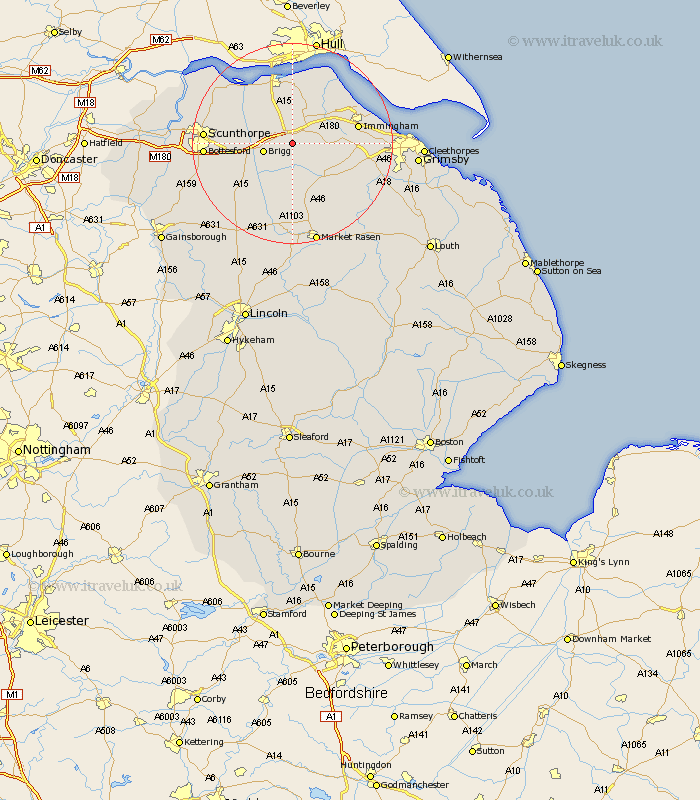
Lincolnshire Map Showing Location of Barnetby Le Wold
Population: 1593
Easting: 505951 Northing: 409004
Latitude: 53.57 Longitude: -0.4
 = Barnetby Le Wold
Easting: 505951 Northing: 409004
Latitude: 53.57 Longitude: -0.4
= Barnetby Le Wold
This Barnetby Le Wold map below is supplied by Google. Use the tools in the top left corner to zoom into street level or zoom out for a road map, you may also need to zoom in to see Barnetby Le Wold on the map. Click and drag the map to move around. If the map fails to load try and refresh your browser or zoom in or out (+ or -).
Update - it seems Google no longer allow people to use their maps for free! This Barnetby Le Wold map sometimes loads and sometimes gives a error. I am working on a solution.
Closest 30 Towns or Cities to Barnetby Le Wold (Population over 500)
Wrawby 4.4km Brigg 5.81km Ulceby 7.09km North Kelsey 9.34km Scawby 9.56km Keelby 9.91km Broughton 9.91km Habrough 10.57km Caistor 10.79km Nettleton 10.79km South Killingholme 11.01km South Kelsey 11.34km Hibaldstow 11.52km Goxhill 11.96km Appleby 12.33km Immingham 12.66km South Ferriby 12.93km Barrow on Humber 13.01km Barrow upon Humber 13.01km Barrow 13.01km Barrow-on-Humber 13.01km Barrow-upon-Humber 13.01km East Halton 13.52km Stallingborough 14.42km New Holland 14.99km Waddingham 15.1km Healing 15.41km Laceby 15.86km Winterton 16.12km Scunthorpe 16.61km