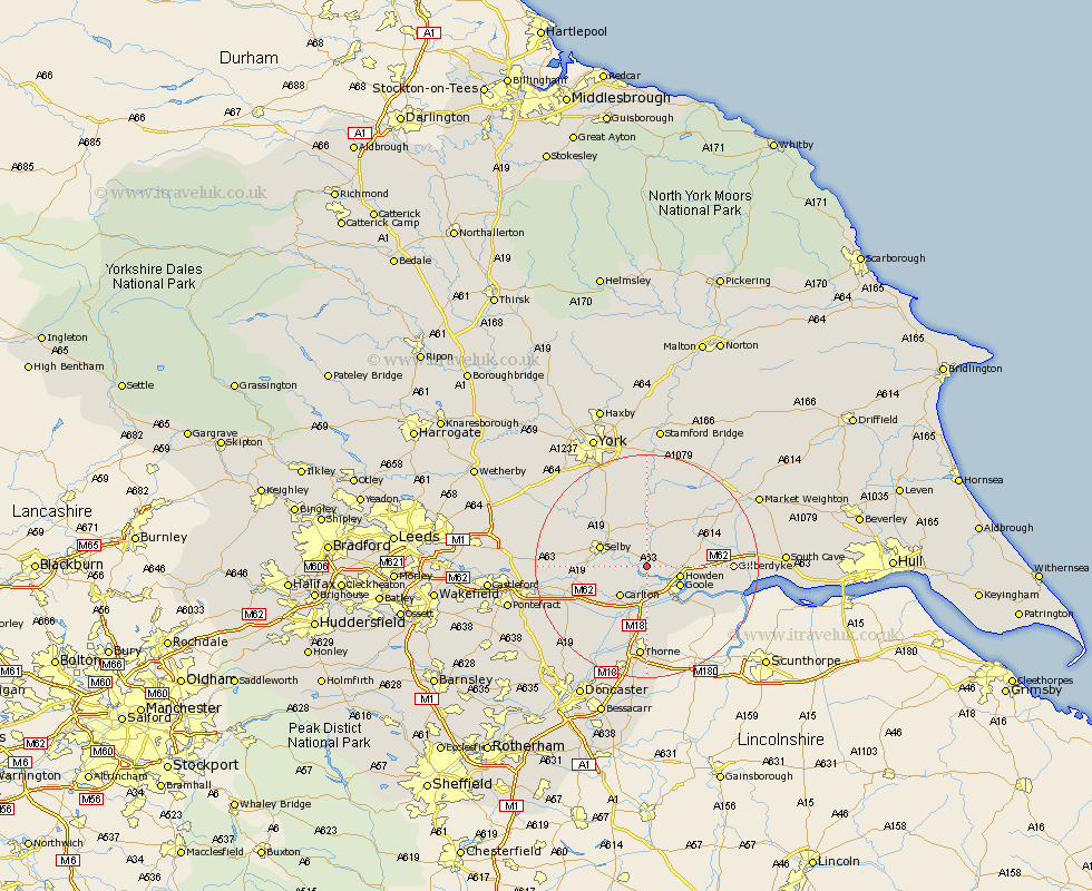
Yorkshire Map Showing Location of Barmby On The Marsh
Population: 345
Easting: 469230 Northing: 428717
Latitude: 53.75 Longitude: -0.95
 = Barmby On The Marsh
Easting: 469230 Northing: 428717
Latitude: 53.75 Longitude: -0.95
= Barmby On The Marsh
This Barmby On The Marsh map below is supplied by Google. Use the tools in the top left corner to zoom into street level or zoom out for a road map, you may also need to zoom in to see Barmby On The Marsh on the map. Click and drag the map to move around. If the map fails to load try and refresh your browser or zoom in or out (+ or -).
Update - it seems Google no longer allow people to use their maps for free! This Barmby On The Marsh map sometimes loads and sometimes gives a error. I am working on a solution.
Closest 30 Towns or Cities to Barmby On The Marsh (Population over 500)
Cliffe Common 2.87km Hemingbrough 2.87km Cliff Common Station 2.87km Barlow 4.38km Airmyn 4.95km Howden 5.79km Goole 6.62km Carlton 7.08km Rawcliffe 7.42km Hook 7.55km Bubwith 7.73km Selby 8.52km Brayton 8.96km Snaith 9.22km Swinefleet 10.67km Eastrington 10.96km Hensall 11.33km Riccall 11.35km Pollington 12.03km Wistow 12.33km Seaton Ross 14.15km Cawood 14.34km Hambleton 14.36km Wheldrake 14.86km Whitley 15.11km Holme 15.19km Holme upon Spalding Moor 15.19km Melbourne 16.21km Escrick 16.21km Thorne 16.72km