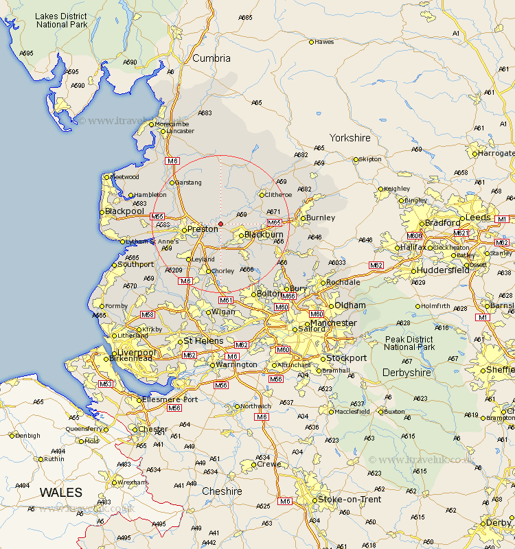
Lancashire Map Showing Location of Balderstone
Population: 379
District: Ribble Valley
Easting: 362666 Northing: 432059
Latitude: 53.78 Longitude: -2.57
 = Balderstone
District: Ribble Valley
Easting: 362666 Northing: 432059
Latitude: 53.78 Longitude: -2.57
= Balderstone
This Balderstone map below is supplied by Google. Use the tools in the top left corner to zoom into street level or zoom out for a road map, you may also need to zoom in to see Balderstone on the map. Click and drag the map to move around. If the map fails to load try and refresh your browser or zoom in or out (+ or -).
Update - it seems Google no longer allow people to use their maps for free! This Balderstone map sometimes loads and sometimes gives a error. I am working on a solution.
Closest 30 Towns or Cities to Balderstone (Population over 500)
Mellor 2.86km Ribchester 2.87km Samlesbury 3.77km Grimsargh 4.76km Wilpshire 5.47km Longridge 5.67km Blackburn 6.61km Hoghton 7.49km Goosnargh 7.54km Langho 7.88km Withnell 9.33km Great Harwood 9.85km Preston 10.03km Whalley 10.53km Rishton 10.53km Brinscall 11.12km Chipping 11.17km Darwen 11.36km Farrington 11.48km Farington 11.48km Barton 11.56km Broughton 11.56km Penwortham 11.56km Woodplumpton 12.18km Clayton-le-Moors 12.19km Clayton le Moor 12.19km Clayton le Moors 12.19km Oswaldtwistle 12.29km Church 12.61km Heapey 13.38km