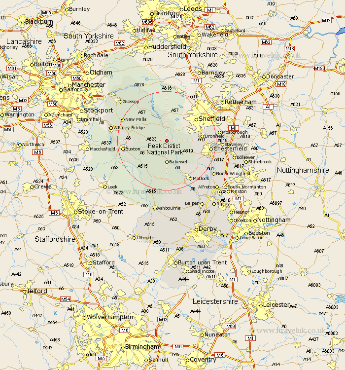
Derbyshire Map Showing Location of Eyam
Population: 926
District: Derbyshire Dales
Easting: 422221 Northing: 376340
Latitude: 53.28 Longitude: -1.67
 = Eyam
District: Derbyshire Dales
Easting: 422221 Northing: 376340
Latitude: 53.28 Longitude: -1.67
= Eyam
This Eyam map below is supplied by Google. Use the tools in the top left corner to zoom into street level or zoom out for a road map, you may also need to zoom in to see Eyam on the map. Click and drag the map to move around. If the map fails to load try and refresh your browser or zoom in or out (+ or -).
Update - it seems Google no longer allow people to use their maps for free! This Eyam map sometimes loads and sometimes gives a error. I am working on a solution.
Closest 30 Towns or Cities to Eyam (Population over 500)
Stony Middleton 2.15km Stoney Middleton 2.15km Grindleford 2.22km Grindleford Bridge 2.22km Hathersage 3.88km Great Longstone 5.98km Longstone 5.98km Baslow 6.48km Bradwell 6.67km Tideswell 6.9km Bamford 7.5km Castleton 8.67km Hope 9.26km Bakewell 9.26km Holmesfield 9.97km Barlow 12.33km Old Brampton 12.4km Brampton 12.4km Youlgreave 13.15km Middleton 13.39km Dronfield 13.42km Darley Dale 13.7km Walton 15.23km Unstone 15.51km Chapel en le Frith 15.94km Winster 16.72km Chesterfield 17.03km Buxton 17.03km Ashover 17.81km Wingerworth 18.08km