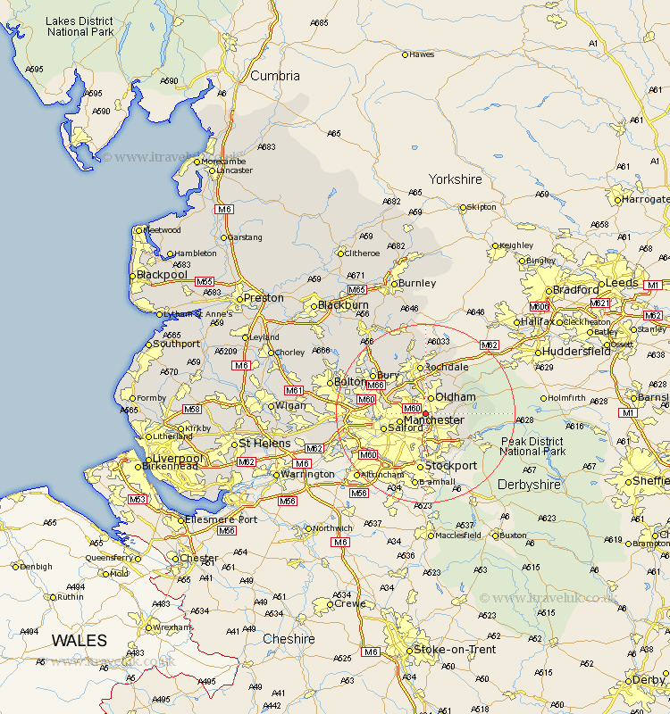
Lancashire Map Showing Location of Failsworth
Population: 19778
Area Size (ha): 398
District: Oldham
Easting: 391160 Northing: 402260
Latitude: 53.52 Longitude: -2.13
 = Failsworth
Area Size (ha): 398
District: Oldham
Easting: 391160 Northing: 402260
Latitude: 53.52 Longitude: -2.13
= Failsworth
This Failsworth map below is supplied by Google. Use the tools in the top left corner to zoom into street level or zoom out for a road map, you may also need to zoom in to see Failsworth on the map. Click and drag the map to move around. If the map fails to load try and refresh your browser or zoom in or out (+ or -).
Update - it seems Google no longer allow people to use their maps for free! This Failsworth map sometimes loads and sometimes gives a error. I am working on a solution.
Closest 30 Towns or Cities to Failsworth (Population over 500)
Ashton-under-Lyne 2.88km Ashton under Lyne 2.88km Ashton 2.88km Oldham 3.86km Droylsden 3.87km Droylesden 3.87km Royton 5.67km Middleton 5.76km Manchester 5.82km Shaw 6.47km Chadderton 7.42km Denton 7.5km Mossley 7.71km Heywood 9.23km Delph 9.5km Milnrow 9.52km Salford 9.57km Uppermill 9.7km Prestwich 10.09km Rochdale 11.17km Hollingworth 11.42km Whitefield 11.62km Littleborough 13.15km Pendlebury 13.22km Radcliffe 13.73km Eccles 13.74km Stretford 14.22km Bury 14.39km Swinton 14.45km Wardle 14.82km