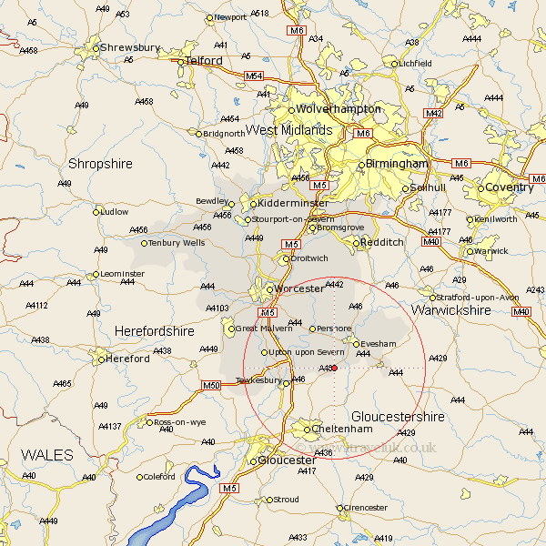
Worcestershire Map Showing Location of Ashton Under Hill
Population: 743
District: Wychavon
Easting: 400000 Northing: 237257
Latitude: 52.03 Longitude: -2
 = Ashton Under Hill
District: Wychavon
Easting: 400000 Northing: 237257
Latitude: 52.03 Longitude: -2
= Ashton Under Hill
This Ashton Under Hill map below is supplied by Google. Use the tools in the top left corner to zoom into street level or zoom out for a road map, you may also need to zoom in to see Ashton Under Hill on the map. Click and drag the map to move around. If the map fails to load try and refresh your browser or zoom in or out (+ or -).
Update - it seems Google no longer allow people to use their maps for free! This Ashton Under Hill map sometimes loads and sometimes gives a error. I am working on a solution.
Closest 30 Towns or Cities to Ashton Under Hill (Population over 500)
Sedgeberrow 2.28km Beckford 2.93km Cropthorne 5.56km Evesham 7.19km Charlton 7.5km Bredon 7.98km Eckington 8.8km Fladbury 9.34km Offenham 9.35km Badsey 9.72km Defford 9.72km Broadway 10.26km Pershore 10.33km South Littleton 10.89km Littleton 10.89km Harvington 12.49km Ripple 12.54km Honeybourne 12.68km Cow Honeybourne 12.68km Church Lench 13.42km Wadborough 13.82km Cleeve Prior 14.37km Peopleton 14.66km Bishampton 14.88km Upton 15.27km Upton-on-Severn 15.27km Upton upon Severn 15.27km Upton on Severn 15.27km Pebworth 16.52km Severn Stoke 16.56km