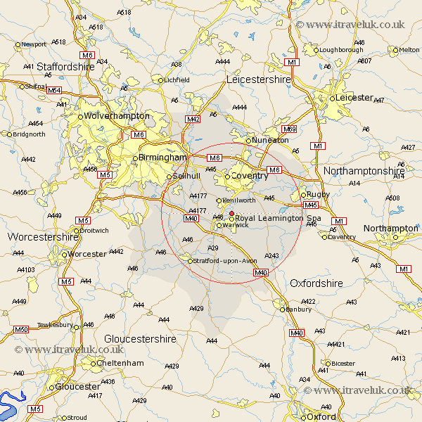
Warwickshire Map Showing Location of Ashow
Population: 104
District: Warwick
Easting: 431807 Northing: 268878
Latitude: 52.32 Longitude: -1.53
 = Ashow
District: Warwick
Easting: 431807 Northing: 268878
Latitude: 52.32 Longitude: -1.53
= Ashow
This Ashow map below is supplied by Google. Use the tools in the top left corner to zoom into street level or zoom out for a road map, you may also need to zoom in to see Ashow on the map. Click and drag the map to move around. If the map fails to load try and refresh your browser or zoom in or out (+ or -).
Update - it seems Google no longer allow people to use their maps for free! This Ashow map sometimes loads and sometimes gives a error. I am working on a solution.
Closest 30 Towns or Cities to Ashow (Population over 500)
Leamington 1.86km Royal Leamington Spa 1.86km Leamington Spa 1.86km Stoneleigh 3.87km Bubbenhall 4.89km Kenilworth 5.03km Warwick 5.04km Baginton 6.52km Whitnash 7.5km Hatton 8.15km Shrewley 9.25km Bishops Tachbrook 9.27km Barford 10.32km Brandon 10.63km Harbury 10.87km Coventry 11.18km Allesley 11.18km Rowington 11.33km Berkswell 11.49km Berkeswell 11.49km Wolston 11.61km Temple Balsall 11.61km Long Itchington 11.62km Southam 12.61km Claverdon 12.63km Keresley 12.97km Stockton 13.65km Meriden 14.15km Bishops Itchington 14.65km Lapworth 14.84km