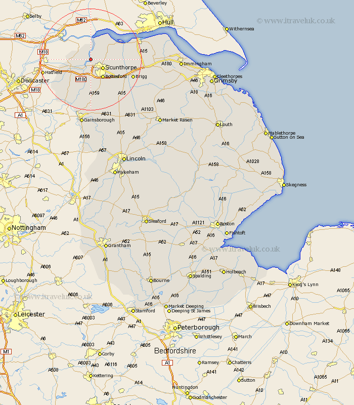
Lincolnshire Map Showing Location of Amcotts
Population: 219
Easting: 484882 Northing: 414142
Latitude: 53.62 Longitude: -0.72
 = Amcotts
Easting: 484882 Northing: 414142
Latitude: 53.62 Longitude: -0.72
= Amcotts
This Amcotts map below is supplied by Google. Use the tools in the top left corner to zoom into street level or zoom out for a road map, you may also need to zoom in to see Amcotts on the map. Click and drag the map to move around. If the map fails to load try and refresh your browser or zoom in or out (+ or -).
Update - it seems Google no longer allow people to use their maps for free! This Amcotts map sometimes loads and sometimes gives a error. I am working on a solution.
Closest 30 Towns or Cities to Amcotts (Population over 500)
Keadby 2.16km Flixborough 2.2km Gunness 3.87km Gunhouse 3.87km Burton upon Stather 4.31km Burton 4.31km Scunthorpe 5.76km Burringham 5.98km Crowle 6.85km West Butterwick 7.74km Winterton 8.54km Bottesford 8.62km Appleby 9.89km Belton 9.93km Messingham 10.27km Winteringham 10.67km Broughton 12.32km Epworth 12.93km Scotter 15.2km Owston 15.2km Owston Ferry 15.2km Scawby 15.25km South Ferriby 15.33km Haxey 16.72km Brigg 17.1km Scotton 17.25km Wrawby 17.41km Hibaldstow 17.75km Kirton in Lindsey 18.37km Kirton 18.37km