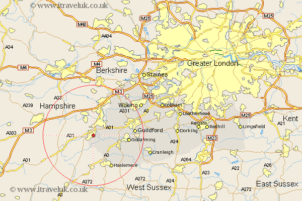
Surrey Map Showing Location of Farnham
Population: 35396
Area Size (ha): 1389
District: Waverley
Easting: 483831 Northing: 145273
Latitude: 51.2 Longitude: -0.8
 = Farnham
Area Size (ha): 1389
District: Waverley
Easting: 483831 Northing: 145273
Latitude: 51.2 Longitude: -0.8
= Farnham
This Farnham map below is supplied by Google. Use the tools in the top left corner to zoom into street level or zoom out for a road map, you may also need to zoom in to see Farnham on the map. Click and drag the map to move around. If the map fails to load try and refresh your browser or zoom in or out (+ or -).
Update - it seems Google no longer allow people to use their maps for free! This Farnham map sometimes loads and sometimes gives a error. I am working on a solution.
Closest 30 Towns or Cities to Farnham (Population over 500)
Tongham 5km Frensham 5.56km Seale 5.81km Elstead 7.89km Puttenham 9.29km Thursley 9.42km Normandy 10.82km Compton 11.61km Frimley 12.05km Hindhead 12.05km Milford 12.19km Deepcut 12.54km Witley 13.78km Godalming 14.06km Goldaming 14.06km Haslemere 14.73km Pirbright 14.85km Hambledon 15.79km Shalford 16.26km Guilford 16.36km Guildford 16.36km Worplesdon 16.72km Chiddingfold 16.95km Camberley 17.31km Camberly 17.31km Bramley 17.52km Wonersh 18.68km Bisley 18.82km Dunsfold 19.71km St Martha 19.82km