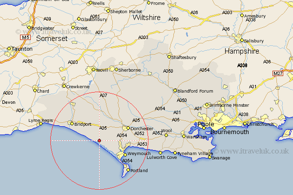
Dorset Map Showing Location of Abbotsbury
Population: 505
District: West Dorset
Easting: 357601 Northing: 85461
Latitude: 50.67 Longitude: -2.6
 = Abbotsbury
District: West Dorset
Easting: 357601 Northing: 85461
Latitude: 50.67 Longitude: -2.6
= Abbotsbury
This Abbotsbury map below is supplied by Google. Use the tools in the top left corner to zoom into street level or zoom out for a road map, you may also need to zoom in to see Abbotsbury on the map. Click and drag the map to move around. If the map fails to load try and refresh your browser or zoom in or out (+ or -).
Update - it seems Google no longer allow people to use their maps for free! This Abbotsbury map sometimes loads and sometimes gives a error. I am working on a solution.
Closest 30 Towns or Cities to Abbotsbury (Population over 500)
Portesham 2.35km Portisham 2.35km West Chickerel 8.98km Chickerell 8.98km Burton Bradstock 9.01km Bincombe 10.74km Loders 11.06km Maiden Newton 11.36km Bradpole 11.96km Weymouth 12.31km Overcombe 12.33km Charminster 12.9km Dorchester 12.99km Preston 13.06km Bridport 13.29km Broadmayne 15.38km Chideock 16.24km Netherbury 16.72km Fortuneswell 16.75km Upton 16.75km Osmington 16.87km Island of Portland 17.51km Isle of Portland 17.51km Portland 17.51km Cerne Abbas 17.54km Weston 17.65km Beaminster 18.2km Easton 18.22km Puddletrenthide 18.29km Piddletrenthide 18.29km